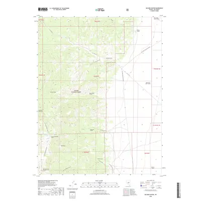
2018 Map of McCann Canyon
USGS Topo · Published 2018About this map
Longstreet Ranch sits at the base of the Monitor Range, providing a focal point for this high-desert landscape within the Toiyabe National Forest. The map documents a complex network of canyons and washes, including McCann Canyon and Longstreet Canyon, which drain the mountainous terrain toward the West Stone Cabin Valley and the Ralston Desert. The presence of several vital water sources, such as Bernice Spring and Little Cottonwood Spring, indicates the essential hydrology required for ranching and travel in this arid environment. Roads like the McCann Shaft Road suggest historic mining activity or resource access, connecting the higher elevations of Piñon Peak to the surrounding basins. This survey provides a modern topographical view of the McKinney Mountains and the intricate land divisions across Nye County.
Find a feature on this map
32 named features on this map. Tap any name to fly to it.
Don’t see what you’re looking for? This feature index may not catch every label — zoom into the map to look around manually.
Map Details
Editions of this 2018 McCann Canyon Map
This is the sole edition of this map. No revisions or reprints were ever made.
Other maps of this area

1956 · Tonopah
USGS Topo · 1:250,000

1959 · Tonopah
USGS Topo · 1:250,000

1962 · Tonopah
USGS Topo · 1:250,000

1971 · Belmont East
USGS Topo · 1:24,000
1971 · Georges Canyon Rim SE
USGS Topo · 1:24,000
1971 · McIntyre Summit
USGS Topo · 1:24,000
1971 · Elkhorn Canyon
USGS Topo · 1:24,000
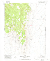
1971 · Georges Canyon Rim
USGS Topo · 1:24,000

1971 · Saulsbury Basin
USGS Topo · 1:24,000
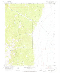
1971 · McCann Canyon
USGS Topo · 1:24,000