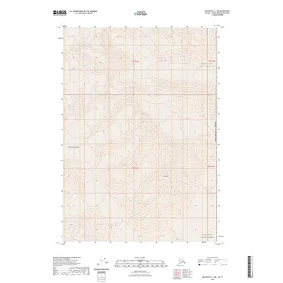
2023 Map of McCarthy A-1 NE
USGS Topo · Published 2023About this map
The Saint Elias Mountains dominate this high-altitude landscape, situated within the vast protected boundaries of the Wrangell-Saint Elias National Park. This recent survey illustrates a terrain of extreme relief and glacially carved features, where the physical geography remains the primary defining characteristic of the region. Rising prominently in the southern half of the sheet, Mt Anderson serves as a significant landmark within the Wrangell-St. Elias Wilderness. The map provides precise topographic data for the intersection of townships T7S, T8S, R24E, and R25E, charting a wilderness area devoid of modern road infrastructure or permanent settlements, preserving the character of one of North America's most secluded mountain environments.
Find a feature on this map
9 named features on this map. Tap any name to fly to it.
Don’t see what you’re looking for? This feature index may not catch every label — zoom into the map to look around manually.
Map Details
Editions of this 2023 McCarthy A-1 NE Map
This is the sole edition of this map. No revisions or reprints were ever made.
Other maps of this area

1951 · McCarthy
USGS Topo · 1:250,000

1959 · McCarthy B-1
USGS Topo · 1:63,360
1959 · McCarthy A-1
USGS Topo · 1:63,360

1960 · McCarthy
USGS Topo · 1:250,000
2017 · McCarthy A-1 SE
USGS Topo · 1:25,000
2017 · McCarthy A-1 NE
USGS Topo · 1:25,000
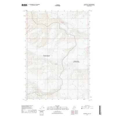
2017 · McCarthy A-1 NW
USGS Topo · 1:25,000
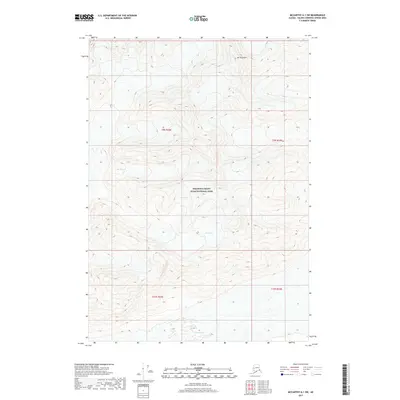
2017 · McCarthy A-1 SW
USGS Topo · 1:25,000
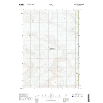
2017 · McCarthy B-1 SE
USGS Topo · 1:25,000
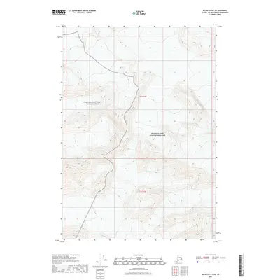
2017 · McCarthy B-1 SW
USGS Topo · 1:25,000