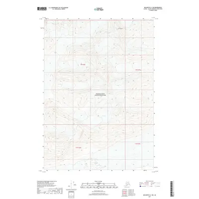
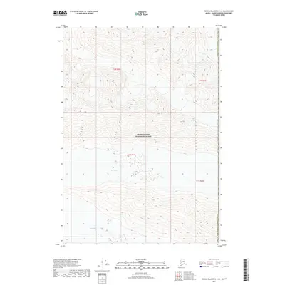
2017 Map of McCarthy A-1 SW
USGS Topo · Published 2017About this map
Wrangell-Saint Elias National Park dominates this high-altitude landscape in the Saint Elias Mountains, where a series of massive ice fields flow through high-relief terrain. The southern portion of the quadrangle is defined by the expansive Chitina Glacier, which receives ice from several tributary flows. These frozen rivers, including Ram Glacier, Lamb Glacier, and Ewe Glacier, illustrate the complex drainage patterns of this protected wilderness area. Rising above the glacial valleys, Mt Tittmann serves as a prominent landmark in the northern reaches. The map reflects a landscape almost entirely shaped by glaciology and tectonic forces, where the lack of human infrastructure emphasizes the primacy of the natural environment in this remote corner of Alaska.
Find a feature on this map
10 named features on this map. Tap any name to fly to it.
Don’t see what you’re looking for? This feature index may not catch every label — zoom into the map to look around manually.
Map Details
Editions of this 2017 McCarthy A-1 SW Map
This is the sole edition of this map. No revisions or reprints were ever made.
Other maps of this area

1950 · Bering Glacier
USGS Topo · 1:250,000

1951 · McCarthy
USGS Topo · 1:250,000

1951 · Bering Glacier
USGS Topo · 1:250,000

1959 · McCarthy A-2
USGS Topo · 1:63,360
1959 · McCarthy A-1
USGS Topo · 1:63,360

1959 · Bering Glacier
USGS Topo · 1:250,000

1960 · McCarthy
USGS Topo · 1:250,000
1984 · Bering Glacier D-2
USGS Topo · 1:63,360
1984 · Bering Glacier D-1
USGS Topo · 1:63,360
2017 · Bering Glacier D-1 NE
USGS Topo · 1:25,000