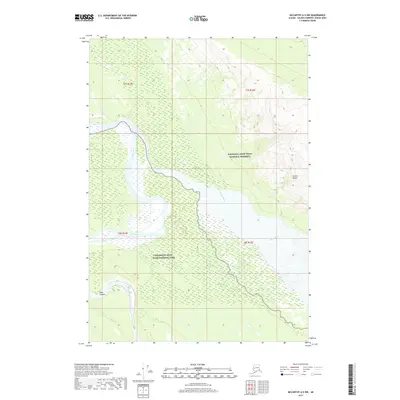
2017 Map of McCarthy A-5 NW
USGS Topo · Published 2017About this map
The Chitina River and Tana River define the alluvial landscape of this remote Alaskan interior region, where broad glacial braided channels meet significant geological formations. The topography is dominated by the transition from the low-lying river valley to the prominent Castle Bluffs and the steep walls of Tana Canyon in the southwest. This 2017 survey delineates the boundary between federally protected lands, specifically where the Wrangell-Saint Elias National Preserve meets the Wrangell-Saint Elias National Park. The map provides a detailed view of the complex wetland patterns and shifting sandbars that characterize these major drainage systems before their confluence, illustrating the dynamic hydrology of the unorganized borough.
Find a feature on this map
10 named features on this map. Tap any name to fly to it.
Don’t see what you’re looking for? This feature index may not catch every label — zoom into the map to look around manually.
Map Details
Editions of this 2017 McCarthy A-5 NW Map
This is the sole edition of this map. No revisions or reprints were ever made.
Other maps of this area

1951 · McCarthy
USGS Topo · 1:250,000

1959 · McCarthy B-6
USGS Topo · 1:63,360

1959 · McCarthy B-5
USGS Topo · 1:63,360

1959 · McCarthy A-5
USGS Topo · 1:63,360

1959 · McCarthy A-6
USGS Topo · 1:63,360

1960 · McCarthy
USGS Topo · 1:250,000

1994 · McCarthy A-6
USGS Topo · 1:63,360
1994 · McCarthy B-6
USGS Topo · 1:63,360
1994 · McCarthy A-5
USGS Topo · 1:63,360
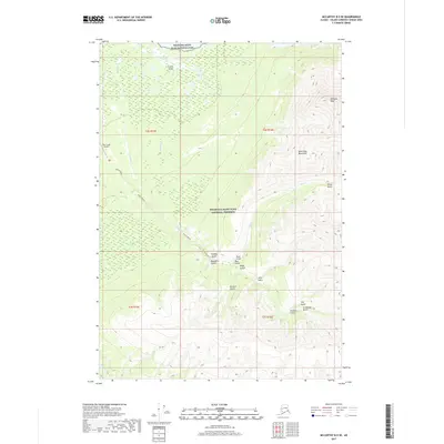
2017 · McCarthy B-5 SE
USGS Topo · 1:25,000