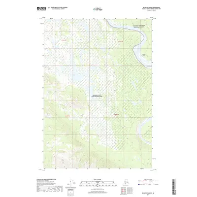
2017 Map of McCarthy A-6 NE
USGS Topo · Published 2017About this map
The Chitina River flows through a wilderness landscape where the boundaries of the Wrangell-Saint Elias National Preserve and Wrangell-Saint Elias National Park meet. This 2017 survey captures a remote region of the Unorganized Borough defined by the confluence of major glacial waterways, including the Tana River and the braided channels of the Chitina. Human activity in this protected expanse is represented by the Jakes Bar Airport, a critical access point for bush pilots and researchers navigating the interior. To the west, the quiet waters of Louise Lake provide a rare stationary landmark amidst a terrain otherwise dominated by shifting riverbeds and the vast alluvial plains typical of this corner of Alaska.
Find a feature on this map
10 named features on this map. Tap any name to fly to it.
Don’t see what you’re looking for? This feature index may not catch every label — zoom into the map to look around manually.
Map Details
Editions of this 2017 McCarthy A-6 NE Map
This is the sole edition of this map. No revisions or reprints were ever made.
Other maps of this area

1951 · McCarthy
USGS Topo · 1:250,000

1959 · McCarthy B-6
USGS Topo · 1:63,360

1959 · McCarthy B-5
USGS Topo · 1:63,360

1959 · McCarthy A-5
USGS Topo · 1:63,360

1959 · McCarthy A-6
USGS Topo · 1:63,360

1960 · McCarthy
USGS Topo · 1:250,000

1994 · McCarthy A-6
USGS Topo · 1:63,360
1994 · McCarthy B-6
USGS Topo · 1:63,360
1994 · McCarthy A-5
USGS Topo · 1:63,360
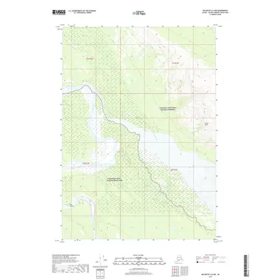
2017 · McCarthy A-5 NW
USGS Topo · 1:25,000