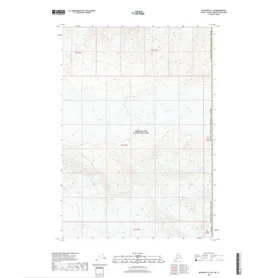
2017 Map of McCarthy B-1 NE
USGS Topo · Published 2017About this map
Wrangell-Saint Elias National Park dominates this high-altitude landscape along the international boundary between the United States and Canada. This specific sector of the Valdez-Cordova Census Area is defined by the massive frozen expanse of the Klutlan Glacier, which flows through the western portion of the terrain. The map captures a moment in the modern era when the vastness of the Alaskan wilderness is delineated by precise Public Land Survey System grids, including t4s r23e and t5s r24e. The topography is exceptionally steep, with elevation contours illustrating the drainage patterns and peaks that flank the glacial flow as it moves across the remote interior of the unorganized borough.
Find a feature on this map
11 named features on this map. Tap any name to fly to it.
Don’t see what you’re looking for? This feature index may not catch every label — zoom into the map to look around manually.
Map Details
Editions of this 2017 McCarthy B-1 NE Map
This is the sole edition of this map. No revisions or reprints were ever made.
Other maps of this area

1951 · McCarthy
USGS Topo · 1:250,000

1959 · McCarthy C-1
USGS Topo · 1:63,360

1959 · McCarthy B-1
USGS Topo · 1:63,360

1960 · McCarthy
USGS Topo · 1:250,000
2017 · McCarthy C-1 SE
USGS Topo · 1:25,000
2017 · McCarthy B-1 NW
USGS Topo · 1:25,000
2017 · McCarthy C-1 SW
USGS Topo · 1:25,000
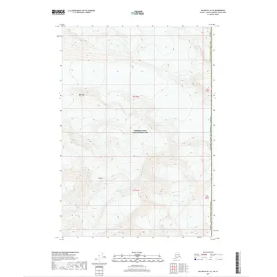
2017 · McCarthy B-1 SE
USGS Topo · 1:25,000
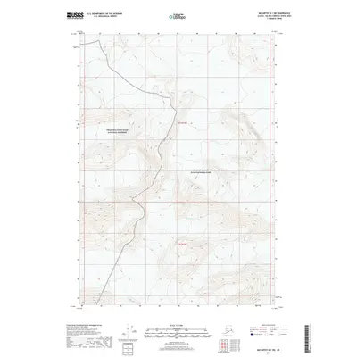
2017 · McCarthy B-1 SW
USGS Topo · 1:25,000
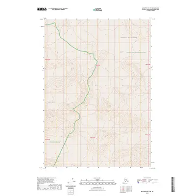
2023 · McCarthy B-1 SW
USGS Topo · 1:25,000