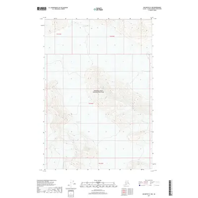
2017 Map of McCarthy B-1 NW
USGS Topo · Published 2017About this map
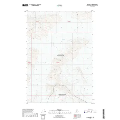
Wrangell-Saint Elias National Park encompasses the majority of this remote Alaskan terrain, characterized by extreme elevations and glacial movement. The massive Klutlan Glacier dominates the southern half of the quadrangle, carving through high-altitude peaks that reach over 10,000 feet. This 2017 survey by the U.S. Geological Survey details a landscape defined almost entirely by its ice and topographical relief, with no established roads or settlements present. The map provides a critical record of the glacial extent and the complex drainage patterns feeding off the ice fields within the unorganized borough. Researchers of glacial geography can trace the intricate contour lines that define the sheer walls and valleys surrounding the main body of the glacier.
Find a feature on this map
6 named features on this map. Tap any name to fly to it.
Don’t see what you’re looking for? This feature index may not catch every label — zoom into the map to look around manually.
Map Details
Editions of this 2017 McCarthy B-1 NW Map
This is the sole edition of this map. No revisions or reprints were ever made.
Other maps of this area

1951 · McCarthy
USGS Topo · 1:250,000

1959 · McCarthy C-1
USGS Topo · 1:63,360

1959 · McCarthy B-2
USGS Topo · 1:63,360

1959 · McCarthy B-1
USGS Topo · 1:63,360

1959 · McCarthy C-2
USGS Topo · 1:63,360

1960 · McCarthy
USGS Topo · 1:250,000
2017 · McCarthy C-1 SE
USGS Topo · 1:25,000
2017 · McCarthy B-1 NE
USGS Topo · 1:25,000
2017 · McCarthy C-1 SW
USGS Topo · 1:25,000
2017 · McCarthy B-2 NE
USGS Topo · 1:25,000