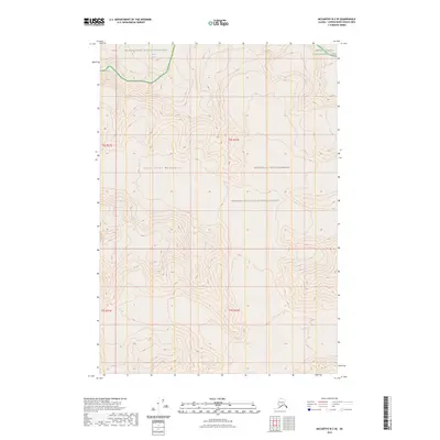
2023 Map of McCarthy B-2 SE
USGS Topo · Published 2023About this map
Saint Elias Mountains define this high-altitude landscape in the Copper River Census Area, where the topography is dictated by massive glacial formations and towering peaks. The northern reach of the map is dominated by the Klutlan Glacier, a significant ice feature that flows through the intersection of several protected federal lands. This 2023 survey illustrates the complex jurisdictional boundaries of the region, showing the convergence of the Wrangell-Saint Elias National Park, the Wrangell-St. Elias Wilderness, and the Wrangell-Saint Elias National Preserve. The lack of road infrastructure or named settlements emphasizes the purely wilderness character of this terrain, where the Public Land Survey System grid lines for t6s r22e and surrounding townships provide the only human-imposed structure over the ice and rock.
Find a feature on this map
9 named features on this map. Tap any name to fly to it.
Don’t see what you’re looking for? This feature index may not catch every label — zoom into the map to look around manually.
Map Details
Editions of this 2023 McCarthy B-2 SE Map
This is the sole edition of this map. No revisions or reprints were ever made.
Other maps of this area

1951 · McCarthy
USGS Topo · 1:250,000

1959 · McCarthy A-2
USGS Topo · 1:63,360

1959 · McCarthy B-2
USGS Topo · 1:63,360

1959 · McCarthy B-1
USGS Topo · 1:63,360
1959 · McCarthy A-1
USGS Topo · 1:63,360

1960 · McCarthy
USGS Topo · 1:250,000
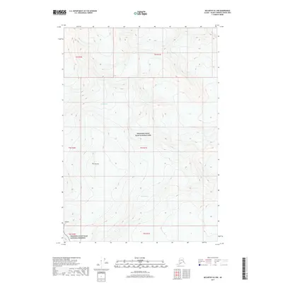
2017 · McCarthy B-2 NW
USGS Topo · 1:25,000
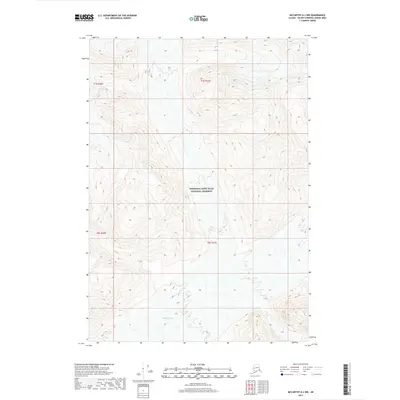
2017 · McCarthy A-2 NW
USGS Topo · 1:25,000
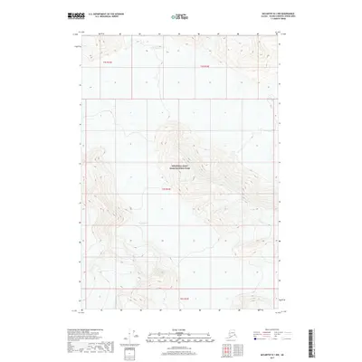
2017 · McCarthy B-1 NW
USGS Topo · 1:25,000
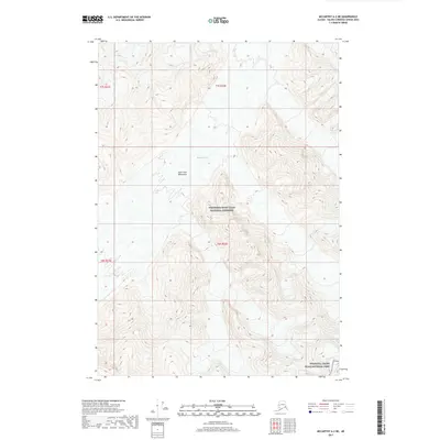
2017 · McCarthy A-2 NE
USGS Topo · 1:25,000