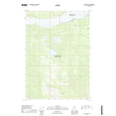
2017 Map of McCarthy B-5 SW
USGS Topo · Published 2017About this map
May Creek serves as a small human footprint in this interior Alaskan wilderness, situated at the intersection of protected public lands. The map details the transition between the Wrangell-Saint Elias National Park and the Wrangell-Saint Elias National Preserve, a landscape defined by the drainage systems of the Nizina River and Young Cr. Aviation infrastructure is critical in this road-sparse environment, evidenced by the presence of both the Young Creek Airport and the May Creek Airport. Transportation on the ground is limited to the Dan Creek Road in the northern sector. The terrain rises sharply toward the south at MacColl Ridge, while the central portion of the quadrangle is marked by the expansive Baultoff Lakes and the drainage of Kaufman Gulch.
Find a feature on this map
16 named features on this map. Tap any name to fly to it.
Don’t see what you’re looking for? This feature index may not catch every label — zoom into the map to look around manually.
Map Details
Editions of this 2017 McCarthy B-5 SW Map
This is the sole edition of this map. No revisions or reprints were ever made.
Other maps of this area

1951 · McCarthy
USGS Topo · 1:250,000

1959 · McCarthy B-6
USGS Topo · 1:63,360

1959 · McCarthy B-5
USGS Topo · 1:63,360

1959 · McCarthy A-5
USGS Topo · 1:63,360

1959 · McCarthy A-6
USGS Topo · 1:63,360

1960 · McCarthy
USGS Topo · 1:250,000

1994 · McCarthy A-6
USGS Topo · 1:63,360
1994 · McCarthy B-6
USGS Topo · 1:63,360
1994 · McCarthy A-5
USGS Topo · 1:63,360
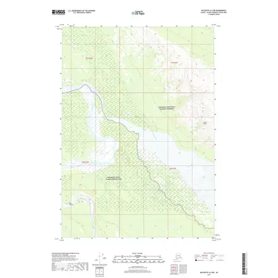
2017 · McCarthy A-5 NW
USGS Topo · 1:25,000