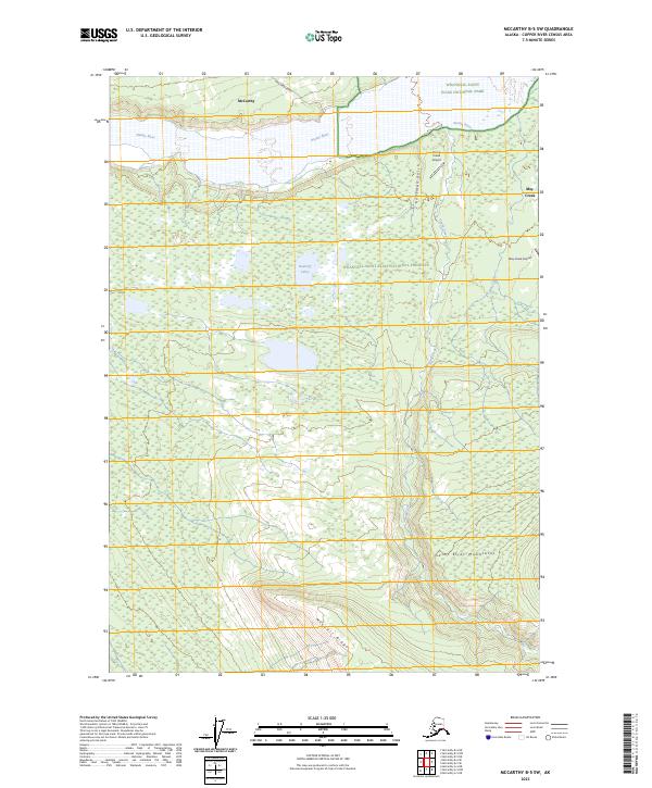
2023 Map of McCarthy B-5 SW
USGS Topo · Published 2023About this map
The settlement of McCarthy serves as a primary access point for the northern reaches of this wilderness landscape, situated just north of the Nizina River. This region, documented in 2023, is defined by the transition from the river valley into the towering Saint Elias Mountains and the prominent MacColl Ridge to the south. The presence of remote landing strips like Young Creek Airport and May Creek Airport reflects the essential role of bush aviation in navigating this road-sparse terrain, where Dan Creek Road provides one of the few terrestrial corridors. Further south, the landscape is punctuated by the Baultoff Lakes and the drainage of Young Creek, showing the complex hydrology of the glacial outwash plains. Much of the area is protected within Wrangell-Saint Elias National Park and the adjacent Wrangell-Saint-Elias National Preserve, preserving a snapshot of the Copper River Census Area's contemporary geography.
Find a feature on this map
17 named features on this map. Tap any name to fly to it.
Don’t see what you’re looking for? This feature index may not catch every label — zoom into the map to look around manually.
Map Details
Editions of this 2023 McCarthy B-5 SW Map
This is the sole edition of this map. No revisions or reprints were ever made.
Other maps of this area

1951 · McCarthy
USGS Topo · 1:250,000

1959 · McCarthy B-6
USGS Topo · 1:63,360

1959 · McCarthy B-5
USGS Topo · 1:63,360

1959 · McCarthy A-5
USGS Topo · 1:63,360

1959 · McCarthy A-6
USGS Topo · 1:63,360

1960 · McCarthy
USGS Topo · 1:250,000

1994 · McCarthy A-6
USGS Topo · 1:63,360
1994 · McCarthy B-6
USGS Topo · 1:63,360
1994 · McCarthy A-5
USGS Topo · 1:63,360
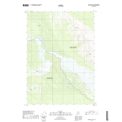
2017 · McCarthy A-5 NW
USGS Topo · 1:25,000