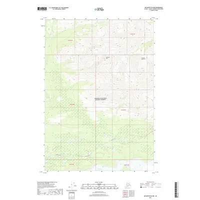
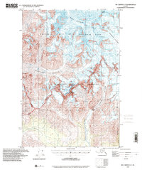
2017 Map of McCarthy B-6 NW
USGS Topo · Published 2017About this map
Wrangell-Saint Elias National Preserve encompasses most of this landscape within the Copper River basin, where the high peaks of the Wrangell Mountains dominate the horizon. In the southern portion of the quadrangle, the McCarthy Road provides a primary corridor through the wilderness, skirting the wide drainage of the Nizina River. This route follows a historic transportation path used for mining and supply transport during the early 20th-century development of the region.
Find a feature on this map
18 named features on this map. Tap any name to fly to it.
Don’t see what you’re looking for? This feature index may not catch every label — zoom into the map to look around manually.
Map Details
Editions of this 2017 McCarthy B-6 NW Map
This is the sole edition of this map. No revisions or reprints were ever made.
Other maps of this area

1951 · McCarthy
USGS Topo · 1:250,000

1959 · McCarthy B-6
USGS Topo · 1:63,360

1959 · McCarthy C-6
USGS Topo · 1:63,360

1959 · McCarthy C-7
USGS Topo · 1:63,360

1959 · McCarthy B-7
USGS Topo · 1:63,360

1960 · McCarthy
USGS Topo · 1:250,000
1993 · McCarthy C-6
USGS Topo · 1:63,360
1994 · McCarthy B-6
USGS Topo · 1:63,360
1995 · McCarthy B-7
USGS Topo · 1:63,360
1995 · McCarthy C-7
USGS Topo · 1:63,360