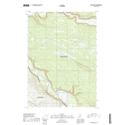
2017 Map of McCarthy B-6 SE
USGS Topo · Published 2017About this map
The Chitina River and Nizina River dominate this wild Alaskan landscape, their braided channels cutting through the expansive wilderness of the Wrangell-Saint Elias National Park. The survey highlights a transition in federal land management, showing the boundary between the national park and the Wrangell-Saint Elias National Preserve. These two designations reflect the complex balancing of conservation and traditional land use in the Wrangell Mountains. Scattered throughout the upland plateaus between the major river valleys are several isolated water bodies, including Star Lake and the elongated Threemile Lake. This 2017 edition provides a modern topographic record of this glacial-fed watershed, capturing the shifting gravel bars and hydraulic patterns of these powerful river systems as they appeared in the early 21st century.
Find a feature on this map
10 named features on this map. Tap any name to fly to it.
Don’t see what you’re looking for? This feature index may not catch every label — zoom into the map to look around manually.
Map Details
Editions of this 2017 McCarthy B-6 SE Map
This is the sole edition of this map. No revisions or reprints were ever made.
Other maps of this area

1951 · McCarthy
USGS Topo · 1:250,000

1959 · McCarthy B-6
USGS Topo · 1:63,360

1959 · McCarthy B-5
USGS Topo · 1:63,360

1959 · McCarthy A-5
USGS Topo · 1:63,360

1959 · McCarthy A-6
USGS Topo · 1:63,360

1960 · McCarthy
USGS Topo · 1:250,000

1994 · McCarthy A-6
USGS Topo · 1:63,360
1994 · McCarthy B-6
USGS Topo · 1:63,360
1994 · McCarthy A-5
USGS Topo · 1:63,360
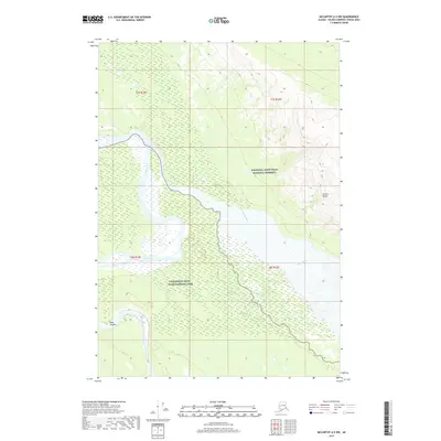
2017 · McCarthy A-5 NW
USGS Topo · 1:25,000