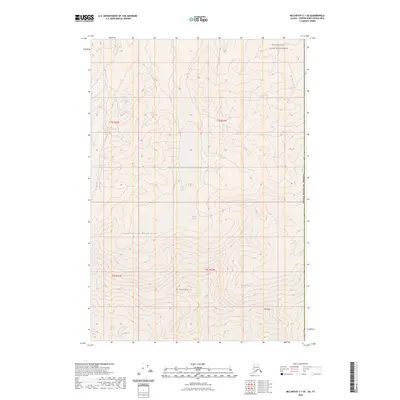
2023 Map of McCarthy C-1 SE
USGS Topo · Published 2023About this map
The Saint Elias Mountains dominate this high-altitude landscape along the border of the United States of America, where the eastern edge of the Wrangell-Saint Elias National Park meets the Wrangell-St Elias Wilderness. This survey documents a complex glacial environment, centered around prominent peaks such as Mt Natazhat and Mt Riggs. Significant ice flows including Guerin Glacier, Natozhat Glacier, and Klutlan Glacier carve through the terrain, feeding drainage systems like Cub Creek and Traver Creek. The map provides precise 2023 coordinates for these moving ice masses, illustrating the modern state of one of the continent's most isolated mountain ranges. The intersection of Township and Range lines such as t3s r23e and t4s r24e provides a surveyor's framework over an otherwise trackless wilderness of rock and ice.
Find a feature on this map
15 named features on this map. Tap any name to fly to it.
Don’t see what you’re looking for? This feature index may not catch every label — zoom into the map to look around manually.
Map Details
Editions of this 2023 McCarthy C-1 SE Map
This is the sole edition of this map. No revisions or reprints were ever made.
Other maps of this area

1951 · McCarthy
USGS Topo · 1:250,000

1959 · McCarthy C-1
USGS Topo · 1:63,360

1959 · McCarthy B-1
USGS Topo · 1:63,360

1960 · McCarthy
USGS Topo · 1:250,000
2017 · McCarthy C-1 SE
USGS Topo · 1:25,000
2017 · McCarthy B-1 NE
USGS Topo · 1:25,000
2017 · McCarthy B-1 NW
USGS Topo · 1:25,000
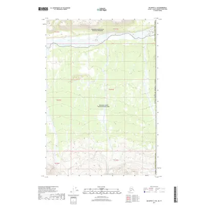
2017 · McCarthy C-1 NE
USGS Topo · 1:25,000
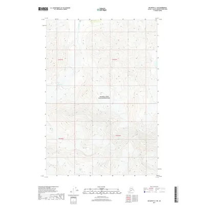
2017 · McCarthy C-1 SW
USGS Topo · 1:25,000
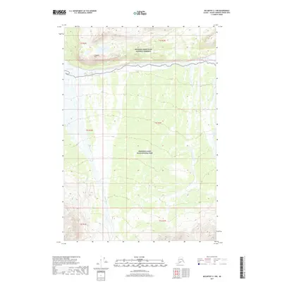
2017 · McCarthy C-1 NW
USGS Topo · 1:25,000