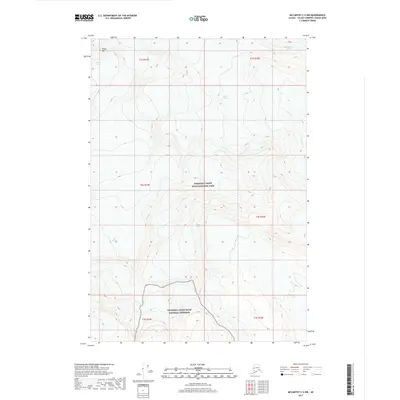
2017 Map of McCarthy C-5 NW
USGS Topo · Published 2017About this map
Regal Mtn stands as the central topographic anchor of this high-elevation Alaskan wilderness, serving as the source for several diverging ice systems. The terrain is dominated by the massive flow of the Regal Glacier, which occupies the central portion of the quadrangle before moving toward lower elevations. This environment is characterized by the convergence of ancient ice and modern conservation boundaries, as the map delineates the transition between the Wrangell-Saint Elias National Park and the adjacent Wrangell-Saint Elias National Preserve. Peripheral ice masses including the Nabesna Glacier and Nizina Glacier touch the corners of the sheet, illustrating a landscape defined almost entirely by glacial movement and vertical relief. This survey provides a precise look at the glacial extents and high-altitude topography of the eastern Wrangell Mountains as they appeared in the early 21st century.
Find a feature on this map
14 named features on this map. Tap any name to fly to it.
Don’t see what you’re looking for? This feature index may not catch every label — zoom into the map to look around manually.
Map Details
Editions of this 2017 McCarthy C-5 NW Map
This is the sole edition of this map. No revisions or reprints were ever made.
Other maps of this area

1951 · McCarthy
USGS Topo · 1:250,000

1959 · McCarthy C-5
USGS Topo · 1:63,360

1959 · McCarthy C-6
USGS Topo · 1:63,360

1960 · McCarthy D-6
USGS Topo · 1:63,360
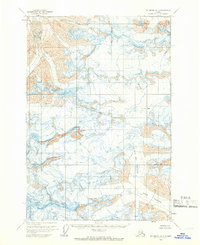
1960 · McCarthy D-5
USGS Topo · 1:63,360

1960 · McCarthy
USGS Topo · 1:250,000
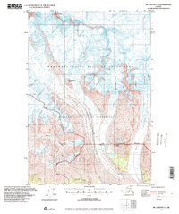
1993 · McCarthy C-6
USGS Topo · 1:63,360
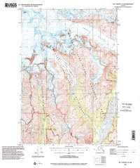
1993 · McCarthy C-5
USGS Topo · 1:63,360
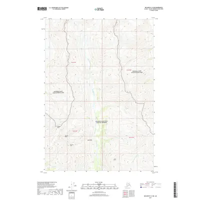
2017 · McCarthy C-5 SW
USGS Topo · 1:25,000
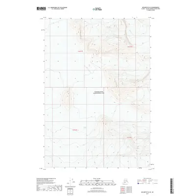
2017 · McCarthy D-6 SE
USGS Topo · 1:25,000