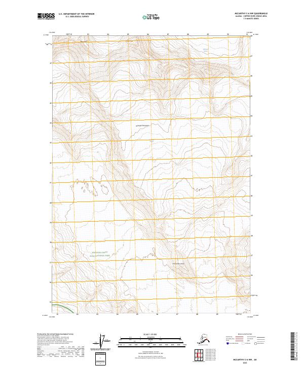
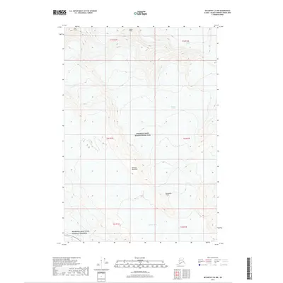
2023 Map of McCarthy C-6 NW
USGS Topo · Published 2023About this map
Wrangell Mountains dominate this high-altitude landscape in the heart of the Wrangell-Saint Elias National Park. The survey illustrates a terrain defined by massive glacial flows, notably the Nabesna Glacier in the northeast and the Kennicott Glacier further south. High-altitude summits such as Atna Peaks and Parka Peak provide topographical anchor points across the northern sections of the quadrangle. The inclusion of Packsaddle Island amidst the glacial ice highlights the shifting natural boundaries within the Wrangell-St. Elias Wilderness. This 2023 edition uses GNIS and National Hydrography Dataset records to document the region's current geological and wilderness designations, serving as a modern reference for the enduring features of this protected Alaskan environment.
Find a feature on this map
14 named features on this map. Tap any name to fly to it.
Don’t see what you’re looking for? This feature index may not catch every label — zoom into the map to look around manually.
Map Details
Editions of this 2023 McCarthy C-6 NW Map
This is the sole edition of this map. No revisions or reprints were ever made.
Other maps of this area

1951 · McCarthy
USGS Topo · 1:250,000

1959 · McCarthy D-7
USGS Topo · 1:63,360

1959 · McCarthy C-6
USGS Topo · 1:63,360

1959 · McCarthy C-7
USGS Topo · 1:63,360

1960 · McCarthy D-6
USGS Topo · 1:63,360

1960 · McCarthy
USGS Topo · 1:250,000
1993 · McCarthy C-6
USGS Topo · 1:63,360
1995 · McCarthy C-7
USGS Topo · 1:63,360
2017 · McCarthy C-7 NE
USGS Topo · 1:25,000
2017 · McCarthy C-6 NW
USGS Topo · 1:25,000