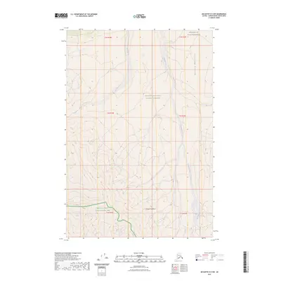
2023 Map of McCarthy D-3 NW
USGS Topo · Published 2023About this map
Lime Glacier sits at the southern edge of this interior Alaskan wilderness, marking a landscape defined by the convergence of the Nutzotin Mountains and the Wrangell Mountains. The terrain transitions through several conservation designations, including the Wrangell-St. Elias Wilderness in the north and the Wrangell-Saint Elias National Park to the south. Waterways like Bow Creek and Geohenda Creek drain these high elevations, tracing the natural corridors of the Wrangell-Saint Elias National Preserve. The absence of roads or established settlements emphasizes the character of this remote subarctic region, where glacial activity and high mountain ridges dictate the local geography.
Find a feature on this map
14 named features on this map. Tap any name to fly to it.
Don’t see what you’re looking for? This feature index may not catch every label — zoom into the map to look around manually.
Map Details
Editions of this 2023 McCarthy D-3 NW Map
This is the sole edition of this map. No revisions or reprints were ever made.
Other maps of this area

1950 · Nabesna
USGS Topo · 1:250,000

1951 · McCarthy
USGS Topo · 1:250,000

1951 · Nabesna
USGS Topo · 1:250,000

1959 · McCarthy D-3
USGS Topo · 1:63,360

1960 · Nabesna A-3
USGS Topo · 1:63,360

1960 · Nabesna A-2
USGS Topo · 1:63,360

1960 · Nabesna
USGS Topo · 1:250,000

1960 · McCarthy D-4
USGS Topo · 1:63,360

1960 · McCarthy
USGS Topo · 1:250,000
2016 · Nabesna A-3 SE
USGS Topo · 1:25,000