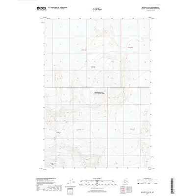
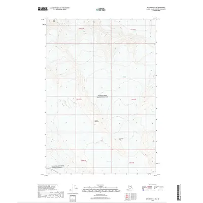
2017 Map of McCarthy D-6 SW
USGS Topo · Published 2017About this map
Wrangell-Saint Elias National Park encompasses this high-altitude landscape in the southeastern Alaskan interior, dominated by massive glacial systems and jagged summits. The Wrangell Mountains define the topography, with the sprawling Nabesna Glacier flowing through the central portion of the sheet. To the south, the dramatic elevations of the Atna Peaks rise near the Mountaineers Pass, a significant high-mountain crossing. This 2017 survey illustrates the complex relationship between alpine ice and rock in one of North America's most protected wilderness areas, providing a modern record of the glacial extent and landforms that have historically shaped this part of the Unorganized Borough.
Find a feature on this map
9 named features on this map. Tap any name to fly to it.
Don’t see what you’re looking for? This feature index may not catch every label — zoom into the map to look around manually.
Map Details
Editions of this 2017 McCarthy D-6 SW Map
This is the sole edition of this map. No revisions or reprints were ever made.
Other maps of this area

1951 · McCarthy
USGS Topo · 1:250,000

1959 · McCarthy D-7
USGS Topo · 1:63,360

1959 · McCarthy C-6
USGS Topo · 1:63,360

1959 · McCarthy C-7
USGS Topo · 1:63,360

1960 · McCarthy D-6
USGS Topo · 1:63,360

1960 · McCarthy
USGS Topo · 1:250,000
1993 · McCarthy C-6
USGS Topo · 1:63,360
1995 · McCarthy C-7
USGS Topo · 1:63,360
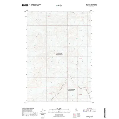
2017 · McCarthy C-7 NE
USGS Topo · 1:25,000
2017 · McCarthy C-6 NW
USGS Topo · 1:25,000