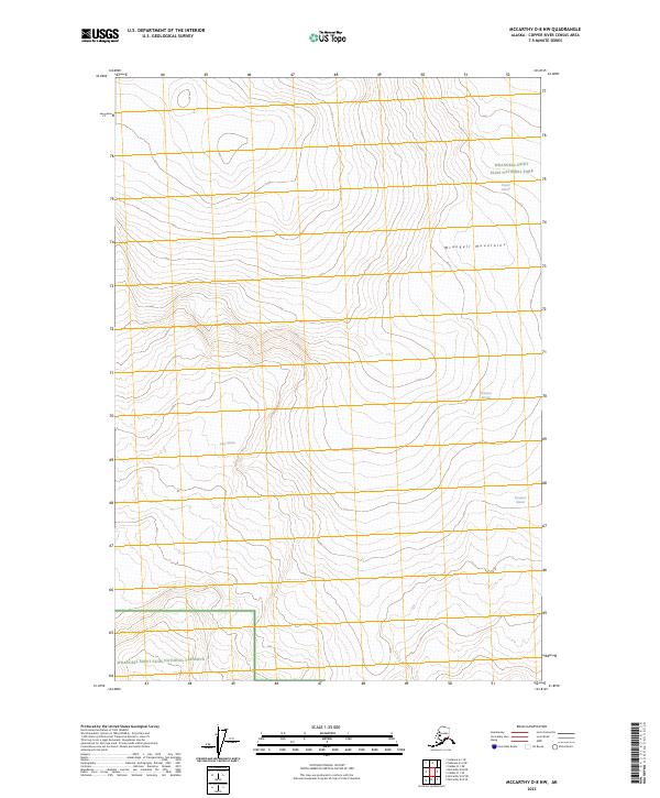
2023 Map of McCarthy D-8 NW
USGS Topo · Published 2023About this map
Wrangell Mountains dominate this high-altitude landscape in eastern Alaska, where massive ice fields and protected lands converge. The map highlights the significant reach of the Wrangell-St. Elias Wilderness, a core component of the larger federal conservation system. Dramatic glacial features such as Copper Glacier and Nabesna Glacier are clearly delineated, illustrating the active glacial processes that continue to shape the drainage patterns of this remote region. The intersection of the Wrangell-Saint Elias National Park and the Wrangell-Saint Elias National Preserve creates a complex jurisdictional landscape intended to preserve the integrity of the ecosystem. Researchers can trace the flow of Long Glacier and Kluvesna Glacier, noting how these frozen rivers descend from the peaks through various townships and ranges.
Find a feature on this map
14 named features on this map. Tap any name to fly to it.
Don’t see what you’re looking for? This feature index may not catch every label — zoom into the map to look around manually.
Map Details
Editions of this 2023 McCarthy D-8 NW Map
This is the sole edition of this map. No revisions or reprints were ever made.
Other maps of this area

1950 · Nabesna
USGS Topo · 1:250,000

1951 · McCarthy
USGS Topo · 1:250,000

1951 · Gulkana
USGS Topo · 1:250,000

1951 · Nabesna
USGS Topo · 1:250,000

1952 · Valdez
USGS Topo · 1:250,000
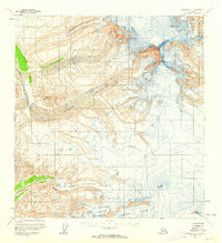
1959 · Gulkana A-1
USGS Topo · 1:63,360

1959 · Gulkana
USGS Topo · 1:250,000

1959 · Nabesna A-6
USGS Topo · 1:63,360

1959 · Valdez D-1
USGS Topo · 1:63,360

1960 · McCarthy D-8
USGS Topo · 1:63,360