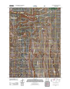
2011 Map of McCarty Butte
USGS Topo · Published 2011About this map
McCarty Butte rises above the high desert of northern Lake County, characterizing a landscape defined by volcanic landforms and isolated ranching outposts. This 2011 survey highlights the remote character of the region, where the Fremont National Forest and the Cabin Lake-Ft Rock Wildl Area meet. The map documents the scattered water management and land use essential for survival in this arid environment, showing the Lasater Reservoir and the drainage of Dry Creek near Sears Flat.
Find a feature on this map
15 named features on this map. Tap any name to fly to it.
Don’t see what you’re looking for? This feature index may not catch every label — zoom into the map to look around manually.
Map Details
Editions of this 2011 McCarty Butte Map
This is the sole edition of this map. No revisions or reprints were ever made.
Other maps of this area

1955 · Crescent
USGS Topo · 1:250,000

1957 · Crescent
USGS Topo · 1:250,000

1958 · Crescent
USGS Topo · 1:250,000

1968 · Silver Lake
USGS Topo · 1:24,000

1968 · Oatman Flat
USGS Topo · 1:24,000
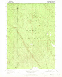
1968 · Antelope Mtn
USGS Topo · 1:24,000

1970 · Crescent
USGS Topo · 1:250,000

1979 · Crescent
USGS Topo · 1:100,000
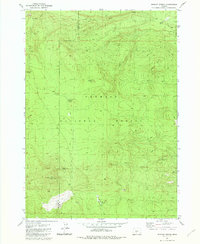
1981 · Wickiup Spring
USGS Topo · 1:24,000
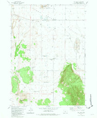
1981 · Fort Rock
USGS Topo · 1:24,000