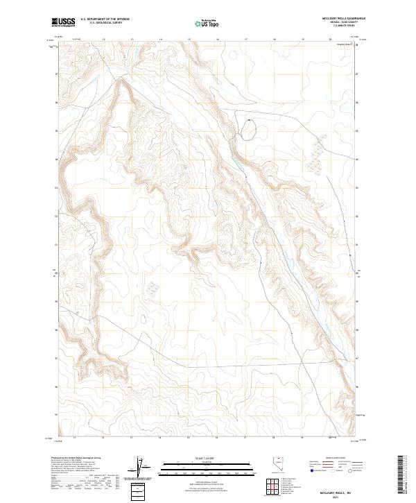
2021 Map of McCleary Wells
USGS Topo · Published 2021About this map
The Owyhee Desert dominates this northern Elko County landscape, where the high desert terrain is defined by dramatic contour changes and seasonal watercourses. The drainage patterns of Wolf Cr and Milligan Cr carve through the arid plateau, illustrating the hydrological network that sustains this remote corner of Nevada. This 2021 survey reveals a landscape largely shaped by public land management, with the Public Land Survey System (PLSS) grid clearly delineating the vast townships of t43n r46e and t42n r46e. The topographic detail highlights the subtle elevations and depressions that characterize this portion of the Great Basin, providing a clear record of the physical geography before any modern human footprints or infrastructure expanded into these desert reaches.
Find a feature on this map
8 named features on this map. Tap any name to fly to it.
Don’t see what you’re looking for? This feature index may not catch every label — zoom into the map to look around manually.
Map Details
Editions of this 2021 McCleary Wells Map
This is the sole edition of this map. No revisions or reprints were ever made.
Other maps of this area

1955 · McDermitt
USGS Topo · 1:250,000

1959 · McDermitt
USGS Topo · 1:250,000
1973 · Rodear Flat
USGS Topo · 1:24,000

1973 · McCleary Wells
USGS Topo · 1:24,000

1973 · Button Lake Well
USGS Topo · 1:24,000

1973 · Corral Lake
USGS Topo · 1:24,000

1973 · Haystack Peak
USGS Topo · 1:24,000

1973 · Humboldt Hill
USGS Topo · 1:24,000

1974 · Winters Ranch Reservoir
USGS Topo · 1:24,000

1974 · Burner Hills
USGS Topo · 1:24,000