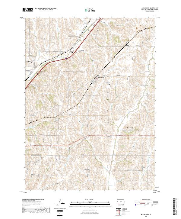
2022 Map of McClelland
USGS Topo · Published 2022About this map
Underwood and McClelland anchor this portion of Pottawattamie County, where the landscape is defined by the branching drainages of Mosquito Creek and Keg Cr. The area’s settlement history is preserved through several small burial grounds, including the Hardin Township Cem and Downsville Cem, alongside the Pottawattamie County Home Cem. The transport network follows a distinct path, with the Railroad Hwy cutting diagonally across the northern townships through Weston and Underwood.
Find a feature on this map
44 named features on this map. Tap any name to fly to it.
Don’t see what you’re looking for? This feature index may not catch every label — zoom into the map to look around manually.
Map Details
Editions of this 2022 McClelland Map
This is the sole edition of this map. No revisions or reprints were ever made.
Other maps of this area

1893 · Omaha
USGS Topo · 1:62,500

1954 · Omaha
USGS Topo · 1:250,000

1956 · Underwood
USGS Topo · 1:24,000

1956 · Mineola
USGS Topo · 1:24,000

1956 · Council Bluffs North
USGS Topo · 1:24,000

1956 · Neola
USGS Topo · 1:24,000

1956 · Treynor
USGS Topo · 1:24,000

1956 · Mc Clelland
USGS Topo · 1:24,000

1956 · Council Bluffs South
USGS Topo · 1:24,000

1957 · Omaha
USGS Topo · 1:250,000