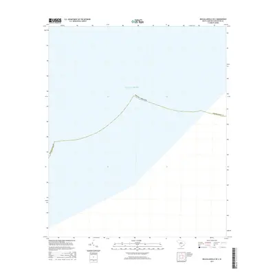
2017 Map of McClellanville OE S
USGS Topo · Published 2017About this map
Atlantic Ocean waters dominate this coastal survey off the shores of Charleston Co. As a maritime-focused map, it depicts the state boundary of South Carolina extending into the open sea, illustrating the administrative limits of the Lowcountry coastline during the late twenty-first century. The lack of terrestrial features emphasizes the nautical and cartographic focus on offshore positioning within the South Carolina Coordinate System. This map serves as a specific record of state and county maritime boundaries as they were recognized in 2017.
Find a feature on this map
3 named features on this map. Tap any name to fly to it.
Don’t see what you’re looking for? This feature index may not catch every label — zoom into the map to look around manually.
Map Details
Editions of this 2017 McClellanville OE S Map
This is the sole edition of this map. No revisions or reprints were ever made.
Other maps of this area

1919 · Bulls Island
USGS Topo · 1:21,120

1942 · Cape Romain
USGS Topo · 1:24,000

1942 · Mc Clellanville
USGS Topo · 1:24,000

1943 · Bulls Island
USGS Topo · 1:24,000

1943 · Awendaw
USGS Topo · 1:24,000

1948 · James Island
USGS Topo · 1:250,000

1949 · Georgetown
USGS Topo · 1:250,000
1959 · Bull Island
USGS Topo · 1:24,000

1967 · Georgetown
USGS Topo · 1:250,000
1968 · James Island
USGS Topo · 1:250,000