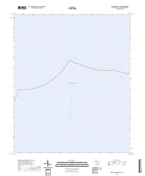
2024 Map of McClellanville OE S
USGS Topo · Published 2024About this map
Cape Romain National Wildlife Refuge marks the northwestern corner of this coastal quadrangle, representing a protected portion of the South Carolina shoreline. The remainder of the map is dominated by the open waters of the Atlantic Ocean, illustrating the maritime environment off the coast of Charleston County. This 2024 survey documents the modern boundary of the refuge and its relation to the surrounding sea, providing a contemporary reference for environmental conservation and coastal change along this specific stretch of the Atlantic seaboard.
Find a feature on this map
2 named features on this map. Tap any name to fly to it.
Don’t see what you’re looking for? This feature index may not catch every label — zoom into the map to look around manually.
Map Details
Editions of this 2024 McClellanville OE S Map
This is the sole edition of this map. No revisions or reprints were ever made.
Other maps of this area

1919 · Bulls Island
USGS Topo · 1:21,120

1942 · Cape Romain
USGS Topo · 1:24,000

1942 · Mc Clellanville
USGS Topo · 1:24,000

1943 · Bulls Island
USGS Topo · 1:24,000

1943 · Awendaw
USGS Topo · 1:24,000

1948 · James Island
USGS Topo · 1:250,000

1949 · Georgetown
USGS Topo · 1:250,000
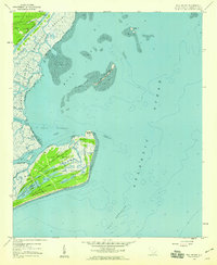
1959 · Bull Island
USGS Topo · 1:24,000

1967 · Georgetown
USGS Topo · 1:250,000
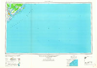
1968 · James Island
USGS Topo · 1:250,000