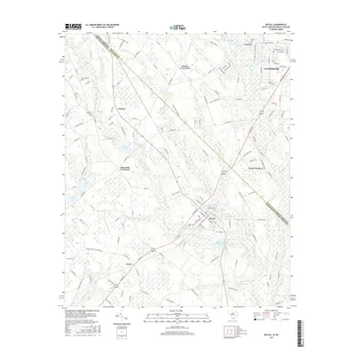
2017 Map of McColl
USGS Topo · Published 2017About this map
McColl and its surrounding agricultural lands straddle the border of Marlboro County, South Carolina, and Scotland County, North Carolina. This landscape is defined by its intricate drainage network, where Gum Swamp Cr and Beaverdam Creek move through a low-lying terrain marked by historic mill sites such as McLaurins Millpond and McNairs Millpond. The map reveals a high density of rural crossroads and family settlements, including Masons Crossroads, Adamsville Crossroads, and the village of Tatum.
Find a feature on this map
149 named features on this map. Tap any name to fly to it.
Don’t see what you’re looking for? This feature index may not catch every label — zoom into the map to look around manually.
Map Details
Editions of this 2017 McColl Map
This is the sole edition of this map. No revisions or reprints were ever made.
Other maps of this area

1942 · Rockingham
USGS Topo · 1:125,000

1949 · Gibson
USGS Topo · 1:24,000

1949 · Ghio
USGS Topo · 1:24,000

1949 · Laurinburg
USGS Topo · 1:24,000

1949 · Hamlet
USGS Topo · 1:62,500

1949 · Laurinburg
USGS Topo · 1:62,500

1953 · Florence
USGS Topo · 1:250,000

1954 · Florence
USGS Topo · 1:250,000

1957 · Laurinburg
USGS Topo · 1:24,000

1971 · Minturn
USGS Topo · 1:24,000