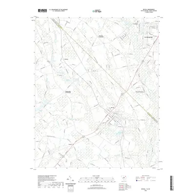
2020 Map of McColl
USGS Topo · Published 2020About this map
McColl serves as a central hub in this survey of the North Carolina and South Carolina borderlands, where the state line divides Scotland and Marlboro counties. The landscape is defined by its hydraulic history and family legacy, anchored by numerous millponds and family-named cemeteries. McLaurins Millpond and McNairs Millpond suggest an era of local industry tied to water power, while McLaurin Cem and Newton Cem provide vital links for those tracing regional genealogy. To the northeast, Laurinburg marks a shift toward more concentrated development, contrasted by the quiet crossroads of Masons Crossroads and Adamsville Crossroads. The drainage network, including Gum Swamp and Beaverdam Creek, illustrates the lowland character of the Coastal Plain where many small branches like Marsnip Branch feed into larger creek systems.
Find a feature on this map
134 named features on this map. Tap any name to fly to it.
Don’t see what you’re looking for? This feature index may not catch every label — zoom into the map to look around manually.
Map Details
Editions of this 2020 McColl Map
This is the sole edition of this map. No revisions or reprints were ever made.
Other maps of this area

1942 · Rockingham
USGS Topo · 1:125,000

1949 · Gibson
USGS Topo · 1:24,000

1949 · Ghio
USGS Topo · 1:24,000

1949 · Laurinburg
USGS Topo · 1:24,000

1949 · Hamlet
USGS Topo · 1:62,500

1949 · Laurinburg
USGS Topo · 1:62,500

1953 · Florence
USGS Topo · 1:250,000

1954 · Florence
USGS Topo · 1:250,000

1957 · Laurinburg
USGS Topo · 1:24,000

1971 · Minturn
USGS Topo · 1:24,000