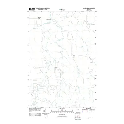
2011 Map of McComb Corner
USGS Topo · Published 2011About this map
Big Eric's Bridge State Forest Campground serves as a central landmark in this remote corner of Baraga County, situated where the Huron River meets its major branches. The landscape is defined by its complex waterway network, including the West Branch and East Branch, which are punctuated by numerous dramatic drops such as Big Erick's Falls, Ectasy Falls, and Letherby Falls.
Find a feature on this map
29 named features on this map. Tap any name to fly to it.
Don’t see what you’re looking for? This feature index may not catch every label — zoom into the map to look around manually.
Map Details
Editions of this 2011 McComb Corner Map
This is the sole edition of this map. No revisions or reprints were ever made.
Other maps of this area

1954 · Huron Mountain
USGS Topo · 1:62,500

1954 · Skanee
USGS Topo · 1:62,500

1955 · Champion
USGS Topo · 1:62,500

1956 · Michigamme
USGS Topo · 1:62,500

1958 · Marquette
USGS Topo · 1:250,000

1958 · Iron River
USGS Topo · 1:250,000

1960 · Iron River
USGS Topo · 1:250,000

1960 · Marquette
USGS Topo · 1:250,000

1961 · Marquette
USGS Topo · 1:250,000

1961 · Iron River
USGS Topo · 1:250,000