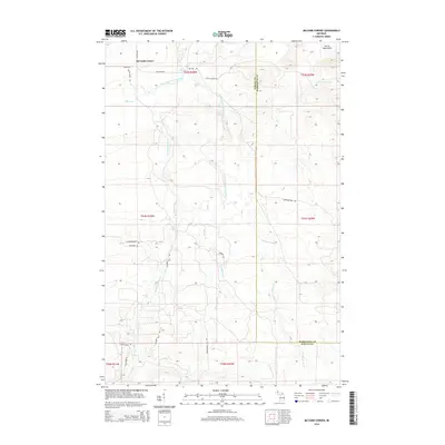
2014 Map of McComb Corner
USGS Topo · Published 2014About this map
The Huron Mountains define the high country of the Upper Peninsula in this 2014 survey of the Baraga and Marquette county border. The drainage basin of the Huron River dominates the landscape, featuring an exceptional concentration of named waterfalls including Big Ericks Falls, Letherby Falls, and the descriptively named Ecstasy Falls. The settlement of McComb Corner serves as the primary landmark at the junction of Skanee Rd and Portice Rd.
Find a feature on this map
39 named features on this map. Tap any name to fly to it.
Don’t see what you’re looking for? This feature index may not catch every label — zoom into the map to look around manually.
Map Details
Editions of this 2014 McComb Corner Map
This is the sole edition of this map. No revisions or reprints were ever made.
Other maps of this area

1954 · Huron Mountain
USGS Topo · 1:62,500

1954 · Skanee
USGS Topo · 1:62,500

1955 · Champion
USGS Topo · 1:62,500

1956 · Michigamme
USGS Topo · 1:62,500

1958 · Marquette
USGS Topo · 1:250,000

1958 · Iron River
USGS Topo · 1:250,000

1960 · Iron River
USGS Topo · 1:250,000

1960 · Marquette
USGS Topo · 1:250,000

1961 · Marquette
USGS Topo · 1:250,000

1961 · Iron River
USGS Topo · 1:250,000