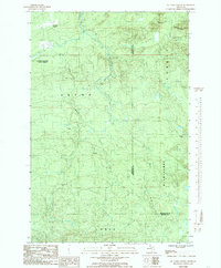
1984 Map of McComb Corner
USGS Topo · Published 1985About this map
Huron Mountains terrain dominates this 1980s landscape, characterized by the dramatic convergence of the West Branch Huron River and the East Branch Huron River. Much of the area is protected as part of the Copper Country State Forest, where the topography is defined by significant elevation changes and numerous cataracts, including Big Falls, Letharby Falls, and Lower Falls.
Find a feature on this map
25 named features on this map. Tap any name to fly to it.
Don’t see what you’re looking for? This feature index may not catch every label — zoom into the map to look around manually.
Map Details
Editions of this 1984 McComb Corner Map
This is the sole edition of this map. No revisions or reprints were ever made.
Other maps of this area

1954 · Huron Mountain
USGS Topo · 1:62,500

1954 · Skanee
USGS Topo · 1:62,500

1955 · Champion
USGS Topo · 1:62,500

1956 · Michigamme
USGS Topo · 1:62,500

1958 · Marquette
USGS Topo · 1:250,000

1958 · Iron River
USGS Topo · 1:250,000

1960 · Iron River
USGS Topo · 1:250,000

1960 · Marquette
USGS Topo · 1:250,000

1961 · Marquette
USGS Topo · 1:250,000

1961 · Iron River
USGS Topo · 1:250,000