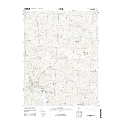
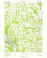
2013 Map of McConnelsville
USGS Topo · Published 2013About this map
The Muskingum River serves as the central artery for this region, dividing the sister towns of Malta and McConnelsville. This 2013 survey illustrates the civic and industrial layout of these riverfront communities, highlighting the Muskingum River Lock and Dam Number 7 and the nearby Morgan County Fairgrounds. The topography is defined by significant ridges and valleys, with peaks like Buttermilk Hill and Cotton Hill rising above the watershed of Meigs Creek and Mans Fork.
Find a feature on this map
90 named features on this map. Tap any name to fly to it.
Don’t see what you’re looking for? This feature index may not catch every label — zoom into the map to look around manually.
Map Details
Editions of this 2013 McConnelsville Map
This is the sole edition of this map. No revisions or reprints were ever made.
Other maps of this area
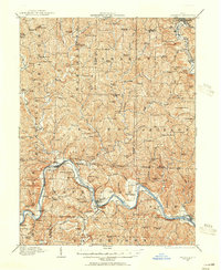
1909 · Caldwell
USGS Topo · 1:62,500
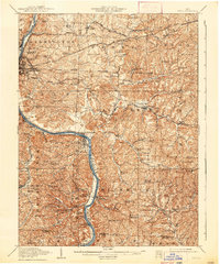
1910 · Philo
USGS Topo · 1:62,500
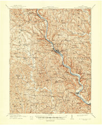
1910 · Mc Connelsville
USGS Topo · 1:62,500
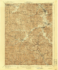
1911 · Cumberland
USGS Topo · 1:62,500
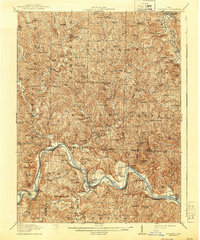
1912 · Caldwell
USGS Topo · 1:62,500

1949 · Clarksburg
USGS Topo · 1:250,000

1956 · Clarksburg
USGS Topo · 1:250,000
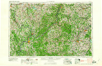
1961 · Clarksburg
USGS Topo · 1:250,000
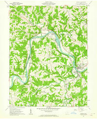
1961 · Beverly
USGS Topo · 1:24,000
1961 · Mc Connelsville
USGS Topo · 1:24,000