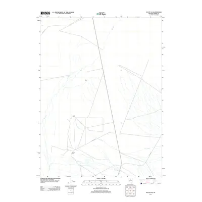
2011 Map of McCoy NE
USGS Topo · Published 2011About this map
Chiara Ranch, Ruffi Ranch, and Childress Ranch anchor this high-desert landscape in central Nevada, marking the long-standing agricultural and ranching presence in the region. The drainage patterns of the Reese River flow through the territory, joined by local watercourses such as Trout Creek and Mill Creek. The terrain is characterized by the wide alluvial fans typical of the Great Basin, with the notable depression of Copper Basin appearing in the northwest corner of the survey. Essential transportation routes like Filippini Ranch Rd and Jenkins Rd link these remote outposts, illustrating the network of dirt and gravel tracks that connect the few scattered ranching estates to one another across the open flats and foothills.
Find a feature on this map
9 named features on this map. Tap any name to fly to it.
Don’t see what you’re looking for? This feature index may not catch every label — zoom into the map to look around manually.
Map Details
Editions of this 2011 McCoy NE Map
This is the sole edition of this map. No revisions or reprints were ever made.
Other maps of this area

1932 · Sonoma Range
USGS Topo · 1:250,000

1939 · Sonoma Range
USGS Topo · 1:250,000

1940 · Antler Peak
USGS Topo · 1:62,500

1943 · Antler Peak
USGS Topo · 1:62,500

1949 · Mt. Lewis
USGS Topo · 1:62,500

1950 · Mt. Lewis
USGS Topo · 1:62,500

1955 · Winnemucca
USGS Topo · 1:250,000

1957 · Battle Mountain
USGS Topo · 1:62,500

1958 · Winnemucca
USGS Topo · 1:250,000

1961 · McCoy
USGS Topo · 1:62,500