
1951 Map of McCoy Wash
USGS Topo · Published 1952About this map
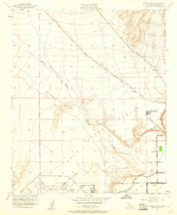
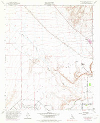
Palo Verde Mesa and the Palo Verde Valley dominate this early 1950s landscape, showcasing the sharp transition between arid highlands and the engineered agricultural lands of Riverside County. The Atchison Topeka and Santa Fe railroad cuts a diagonal line across the desert floor, passing through the small settlement of Mesaville. This era of development is marked by significant hydraulic infrastructure, including a series of levees, a Diversion Dike, and the Irrigation Canal which supported the valley's growth.
Find a feature on this map
21 named features on this map. Tap any name to fly to it.
Don’t see what you’re looking for? This feature index may not catch every label — zoom into the map to look around manually.
Map Details
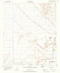
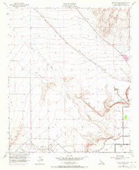
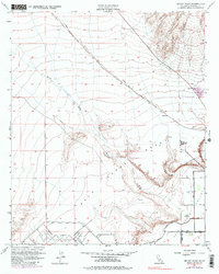
Editions of this 1951 McCoy Wash Map
6 editions found
Other maps of this area

1942 · Blythe
USGS Topo · 1:250,000

1945 · Big Maria Mtns
USGS Topo · 1:62,500

1945 · Midland
USGS Topo · 1:62,500

1951 · Big Maria Mts
USGS Topo · 1:62,500

1951 · Blythe
USGS Topo · 1:24,000

1951 · Blythe NE
USGS Topo · 1:24,000

1952 · Midland
USGS Topo · 1:62,500

1952 · Mc Coy Spring
USGS Topo · 1:62,500

1952 · Ripley
USGS Topo · 1:24,000

1954 · Salton Sea
USGS Topo · 1:250,000