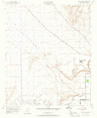
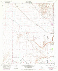
1951 Map of McCoy Wash
USGS Topo · Published 1966About this map
The Palo Verde Mesa and its transition into the lower agricultural lands define this 1951 landscape near the Arizona border. This survey captures a moment when the regional infrastructure was expanding to support both aviation and irrigation, centered around the Blythe Airport and the emerging Palo Verde Valley. The arid terrain is carved by the ephemeral McCoy Wash, while man-made features like the Diversion Dike and a series of levees illustrate the ongoing efforts to manage desert runoff and protect the valley's developing farms.
Find a feature on this map
21 named features on this map. Tap any name to fly to it.
Don’t see what you’re looking for? This feature index may not catch every label — zoom into the map to look around manually.
Map Details
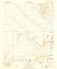
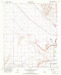
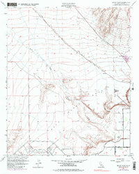
Editions of this 1951 McCoy Wash Map
6 editions found
Other maps of this area

1942 · Blythe
USGS Topo · 1:250,000

1945 · Big Maria Mtns
USGS Topo · 1:62,500

1945 · Midland
USGS Topo · 1:62,500

1951 · Big Maria Mts
USGS Topo · 1:62,500

1951 · Blythe
USGS Topo · 1:24,000

1951 · McCoy Wash
USGS Topo · 1:24,000

1951 · Blythe NE
USGS Topo · 1:24,000

1952 · Midland
USGS Topo · 1:62,500

1952 · Mc Coy Spring
USGS Topo · 1:62,500

1952 · Ripley
USGS Topo · 1:24,000