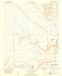
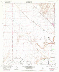
1951 Map of McCoy Wash
USGS Topo · Published 1961About this map
The Palo Verde Mesa and its transition into the irrigated lowlands of the Palo Verde Valley define this mid-century landscape in Riverside County. The Atchison Topeka and Santa Fe railroad cuts a diagonal path across the arid terrain, following the general course of McCoy Wash. This infrastructure, alongside Midland Road, supported the region's connectivity before the expansion of the modern interstate system.
Find a feature on this map
23 named features on this map. Tap any name to fly to it.
Don’t see what you’re looking for? This feature index may not catch every label — zoom into the map to look around manually.
Map Details
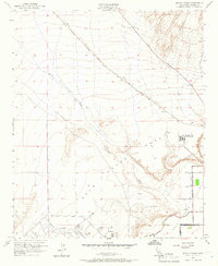
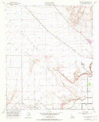
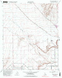
Editions of this 1951 McCoy Wash Map
6 editions found
Other maps of this area

1942 · Blythe
USGS Topo · 1:250,000

1945 · Big Maria Mtns
USGS Topo · 1:62,500

1945 · Midland
USGS Topo · 1:62,500

1951 · Big Maria Mts
USGS Topo · 1:62,500

1951 · Blythe
USGS Topo · 1:24,000

1951 · McCoy Wash
USGS Topo · 1:24,000

1951 · Blythe NE
USGS Topo · 1:24,000

1952 · Midland
USGS Topo · 1:62,500

1952 · Mc Coy Spring
USGS Topo · 1:62,500

1952 · Ripley
USGS Topo · 1:24,000