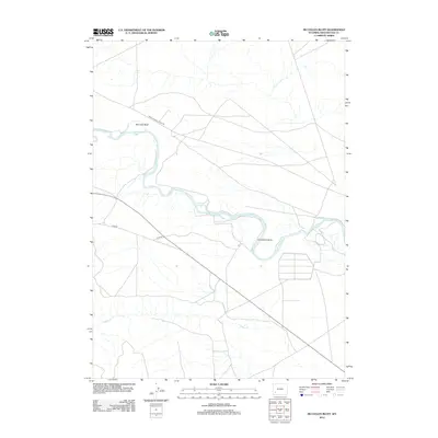
2012 Map of McCullen Bluff
USGS Topo · Published 2012About this map
Green River meanders through the high desert of Sweetwater County, forming a prominent loop at Horseshoe Bend as it flows south. The river corridor is flanked by the namesake McCullen Bluff to the north, where the terrain rises above the water's path. This landscape is defined by the sparse network of rural routes that facilitate movement across the arid plains, including the Lower Farson Cutoff Rd and Co Rd 86. In the southern portion of the area, Shute Cr cuts through the basin to meet the river, marking a critical drainage point for the surrounding uplands. The mapping of these watercourses and bluffs reflects the enduring character of this Wyoming backcountry, where geographical landmarks serve as the primary navigational aids.
Find a feature on this map
6 named features on this map. Tap any name to fly to it.
Don’t see what you’re looking for? This feature index may not catch every label — zoom into the map to look around manually.
Map Details
Editions of this 2012 McCullen Bluff Map
This is the sole edition of this map. No revisions or reprints were ever made.
Other maps of this area

1954 · Ogden
USGS Topo · 1:250,000

1954 · Rock Springs
USGS Topo · 1:250,000

1955 · Preston
USGS Topo · 1:250,000

1955 · Lander
USGS Topo · 1:250,000

1958 · Lander
USGS Topo · 1:250,000

1958 · Ogden
USGS Topo · 1:250,000

1958 · Rock Springs
USGS Topo · 1:250,000

1958 · Preston
USGS Topo · 1:250,000

1960 · Ogden
USGS Topo · 1:250,000

1961 · Lander
USGS Topo · 1:250,000