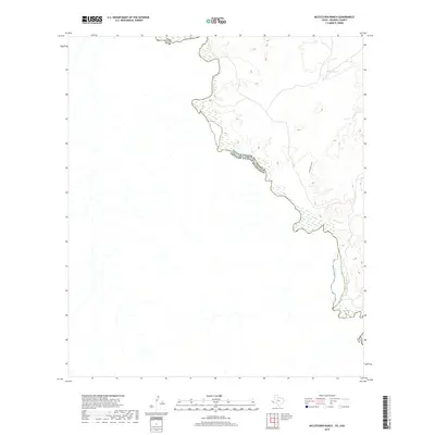
2019 Map of McCutchen Ranch
USGS Topo · Published 2019About this map
The Rio Grande snakes through this high desert terrain, serving as the international boundary between the United States of America and Estados Unidos Mexicanos. This 2019 survey captures a landscape defined by seasonal water flow and sparse desert landmarks. Evidence of life in this arid environment is found at Widow Spring and along the drainages of McComb Cr and Arroyo San Carlos. The map illustrates the topographical complexity of the border region, where elevation changes dramatically as one moves away from the river into the interior of Presidio County. These natural features dictated the placement of early ranching operations and primitive travel routes in this part of West Texas.
Find a feature on this map
6 named features on this map. Tap any name to fly to it.
Don’t see what you’re looking for? This feature index may not catch every label — zoom into the map to look around manually.
Map Details
Editions of this 2019 McCutchen Ranch Map
This is the sole edition of this map. No revisions or reprints were ever made.
Other maps of this area

1896 · San Carlos
USGS Topo · 1:125,000

1959 · Marfa
USGS Topo · 1:250,000

1965 · Marfa
USGS Topo · 1:250,000
1978 · Gettysburg Peak
USGS Topo · 1:24,000
1979 · Candelaria
USGS Topo · 1:24,000
1979 · McCutchen Ranch
USGS Topo · 1:24,000
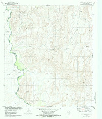
1979 · Quinn Creek
USGS Topo · 1:24,000
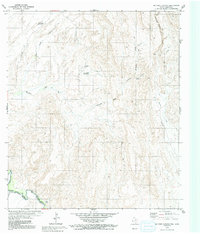
1979 · McComb Canyon
USGS Topo · 1:24,000
1985 · Marfa
USGS Topo · 1:100,000
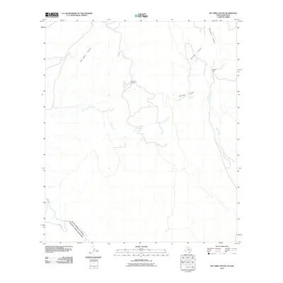
2010 · McComb Canyon
USGS Topo · 1:24,000