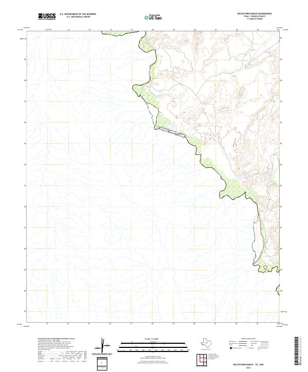
2022 Map of McCutchen Ranch
USGS Topo · Published 2022About this map
The Rio Grande snakes along the international border in this portion of Presidio County, defining the limit between the United States of America and Mexico. The terrain is characterized by steep elevation changes and desert drainages that feed into the river basin. Sparse water sources such as Widow Spring serve as critical landmarks in an otherwise arid landscape defined by deep-cut arroyos. Geographic features like Arroyo San Carlos and McComb Cr demonstrate the natural drainage patterns of this remote border region, where topography dictated the isolation and placement of ranching outposts and trails during the early twenty-first century.
Find a feature on this map
5 named features on this map. Tap any name to fly to it.
Don’t see what you’re looking for? This feature index may not catch every label — zoom into the map to look around manually.
Map Details
Editions of this 2022 McCutchen Ranch Map
This is the sole edition of this map. No revisions or reprints were ever made.
Other maps of this area

1896 · San Carlos
USGS Topo · 1:125,000

1959 · Marfa
USGS Topo · 1:250,000

1965 · Marfa
USGS Topo · 1:250,000
1978 · Gettysburg Peak
USGS Topo · 1:24,000
1979 · Candelaria
USGS Topo · 1:24,000
1979 · McCutchen Ranch
USGS Topo · 1:24,000
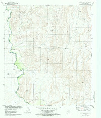
1979 · Quinn Creek
USGS Topo · 1:24,000
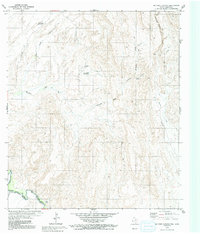
1979 · McComb Canyon
USGS Topo · 1:24,000
1985 · Marfa
USGS Topo · 1:100,000
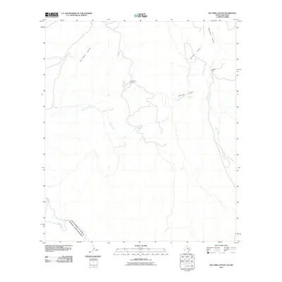
2010 · McComb Canyon
USGS Topo · 1:24,000