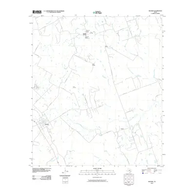
2010 Map of McDade
USGS Topo · Published 2010About this map
McDade anchors this portion of Bastrop County, characterized by a complex network of creeks feeding the larger watershed including West Yegua Creek and Rocky Creek. The terrain is marked by distinctive elevations such as The Knobbs and Yegua Knobbs, which rise above the surrounding prairie and brushland. For genealogists, the map is particularly detailed regarding local burial grounds, identifying the Old Knobbs Springs Cemetery and New Knobbs Springs Cemetery near the settlement of Knobbs Springs, as well as Sanders Cemetery, Dube Cemetery, and High Hill Cemetery. The road network transitions from the paved corridor of Old Hwy 20 to numerous rural routes like Paint Creek Rd and Stockade Ranch Rd, illustrating the persistence of rural land divisions and family ranching operations in this part of Texas during the early 21st century.
Find a feature on this map
44 named features on this map. Tap any name to fly to it.
Don’t see what you’re looking for? This feature index may not catch every label — zoom into the map to look around manually.
Map Details
Editions of this 2010 McDade Map
This is the sole edition of this map. No revisions or reprints were ever made.
Other maps of this area

1885 · Bastrop
USGS Topo · 1:125,000

1893 · Bastrop
USGS Topo · 1:125,000

1904 · Bastrop
USGS Topo · 1:125,000

1948 · Smithville
USGS Topo · 1:62,500

1948 · Elgin
USGS Topo · 1:62,500

1948 · Bastrop
USGS Topo · 1:62,500

1948 · Lexington
USGS Topo · 1:62,500

1950 · Lexington
USGS Topo · 1:62,500

1950 · Bastrop
USGS Topo · 1:62,500

1950 · Smithville
USGS Topo · 1:62,500