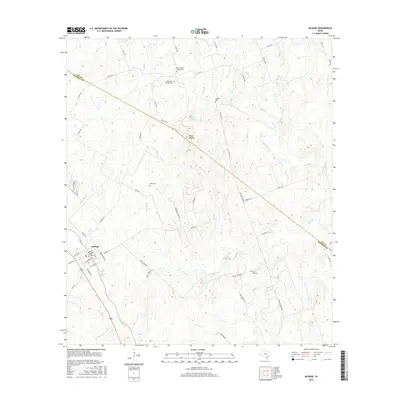
2016 Map of McDade
USGS Topo · Published 2016About this map
McDade anchors the southwestern corner of this Central Texas landscape, where the street grid of the small community meets a network of county roads leading into the hills. The terrain is defined by the Yegua Knobbs and a complex drainage system that includes W Yegua Cr, Willow Cr, and Mine Cr. The boundary between Lee Co and Bastrop Co cuts diagonally across the eastern half, dividing a landscape primarily used for ranching and rural residential living.
Find a feature on this map
63 named features on this map. Tap any name to fly to it.
Don’t see what you’re looking for? This feature index may not catch every label — zoom into the map to look around manually.
Map Details
Editions of this 2016 McDade Map
This is the sole edition of this map. No revisions or reprints were ever made.
Other maps of this area

1885 · Bastrop
USGS Topo · 1:125,000

1893 · Bastrop
USGS Topo · 1:125,000

1904 · Bastrop
USGS Topo · 1:125,000

1948 · Smithville
USGS Topo · 1:62,500

1948 · Elgin
USGS Topo · 1:62,500

1948 · Bastrop
USGS Topo · 1:62,500

1948 · Lexington
USGS Topo · 1:62,500

1950 · Lexington
USGS Topo · 1:62,500

1950 · Bastrop
USGS Topo · 1:62,500

1950 · Smithville
USGS Topo · 1:62,500