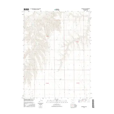
2015 Map of McDonald NE
USGS Topo · Published 2015About this map
The Mayflower Cem serves as a lone local landmark in this prairie landscape of northwestern Kansas, situated near the headwaters of the regional drainage systems. The terrain is defined by the carved paths of Burntwood Cr and its tributaries, including W Fork Burntwood Cr and E Fork Burntwood Cr, which cut through the high plains. A secondary drainage system is represented by the N Fork Driftwood Cr in the eastern half of the sheet. The survey details a rigid section-line road network typical of the Public Land Survey System, with designated routes such as Co Rd Y and Rd Z providing access across the township boundaries of t15s r36w and t15s r35w. This documentation of the rural Rawlins County landscape captures the intersection of natural watercourses and the human-imposed grid used for agricultural land management.
Find a feature on this map
17 named features on this map. Tap any name to fly to it.
Don’t see what you’re looking for? This feature index may not catch every label — zoom into the map to look around manually.
Map Details
Editions of this 2015 McDonald NE Map
This is the sole edition of this map. No revisions or reprints were ever made.
Other maps of this area

1950 · Mc Donald
USGS Topo · 1:62,500

1951 · Mc Donald
USGS Topo · 1:62,500

1951 · Atwood
USGS Topo · 1:62,500

1954 · McCook
USGS Topo · 1:250,000

1954 · Goodland
USGS Topo · 1:250,000

1956 · Goodland
USGS Topo · 1:250,000

1957 · McCook
USGS Topo · 1:250,000

1957 · Goodland
USGS Topo · 1:250,000

1958 · McCook
USGS Topo · 1:250,000

1962 · Trenton SW
USGS Topo · 1:24,000