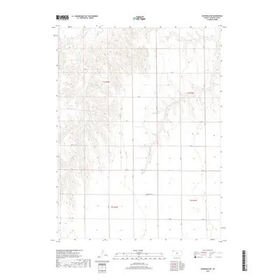
2018 Map of McDonald NE
USGS Topo · Published 2018About this map
Mayflower Cem sits as a quiet landmark in the southern reaches of this High Plains landscape, a characteristic feature of the rural Rawlins County interior. The terrain is defined by the dendritic drainage patterns of several tributaries, including the W Fork Burntwood Cr and E Fork Burntwood Cr, which converge into Burntwood Cr in the northwest. To the east, the N Fork Driftwood Cr carves through the undulating topography. This 2018 survey reveals a systematic grid of section roads like RD 7 and Co RD Y that overlay the natural hydrology, reflecting the enduring legacy of the Public Land Survey System in organizing this agricultural region. The map captures the quiet, expansive nature of western Kansas, where life follows the courses of intermittent creeks and the gravel arteries of the county road network.
Find a feature on this map
26 named features on this map. Tap any name to fly to it.
Don’t see what you’re looking for? This feature index may not catch every label — zoom into the map to look around manually.
Map Details
Editions of this 2018 McDonald NE Map
This is the sole edition of this map. No revisions or reprints were ever made.
Other maps of this area

1950 · Mc Donald
USGS Topo · 1:62,500

1951 · Mc Donald
USGS Topo · 1:62,500

1951 · Atwood
USGS Topo · 1:62,500

1954 · McCook
USGS Topo · 1:250,000

1954 · Goodland
USGS Topo · 1:250,000

1956 · Goodland
USGS Topo · 1:250,000

1957 · McCook
USGS Topo · 1:250,000

1957 · Goodland
USGS Topo · 1:250,000

1958 · McCook
USGS Topo · 1:250,000

1962 · Trenton SW
USGS Topo · 1:24,000