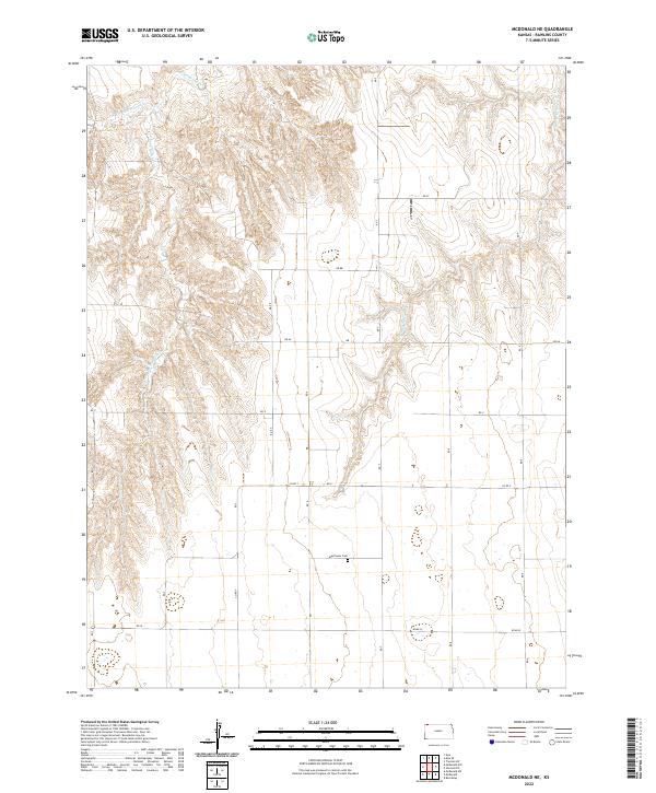
2022 Map of McDonald NE
USGS Topo · Published 2022About this map
Mayflower Cem serves as a lone local landmark in this corner of Rawlins County, situated near the intersection of several section-line roads. The landscape is defined by the drainage patterns of Burntwood Cr, which branches into the W-Fork Burntwood Cr and E-Fork Burntwood Cr in the northwest. In the northeast, the terrain slopes toward the N-Fork Driftwood Cr, illustrating the typical High Plains dissection of the land where intermittent streams have carved deep draws into the plateau. The map's grid of rural routes, including Co Rd Y and Road N, follows the established Public Land Survey System, providing a clear view of the land division in townships t1s r36w and t1s r35w. This configuration reflects the enduring agricultural structure of the region, where roads primarily serve to connect isolated farmsteads and manage the vast open spaces between seasonal watercourses.
Find a feature on this map
26 named features on this map. Tap any name to fly to it.
Don’t see what you’re looking for? This feature index may not catch every label — zoom into the map to look around manually.
Map Details
Editions of this 2022 McDonald NE Map
This is the sole edition of this map. No revisions or reprints were ever made.
Other maps of this area

1950 · Mc Donald
USGS Topo · 1:62,500

1951 · Mc Donald
USGS Topo · 1:62,500

1951 · Atwood
USGS Topo · 1:62,500

1954 · McCook
USGS Topo · 1:250,000

1954 · Goodland
USGS Topo · 1:250,000

1956 · Goodland
USGS Topo · 1:250,000

1957 · McCook
USGS Topo · 1:250,000

1957 · Goodland
USGS Topo · 1:250,000

1958 · McCook
USGS Topo · 1:250,000

1962 · Trenton SW
USGS Topo · 1:24,000