
2020 Map of McDonald
USGS Topo · Published 2020About this map
Linwood and Dixon anchor this section of Neshoba County, where the landscape is defined by the headwaters of Beasha Creek and the engineered waterways of the Lonsilocher Canal and Fulton Canal. This survey reveals a deeply rooted rural infrastructure of local roads like Clement Barret Rd and Oscar Johnston Rd, connecting scattered settlements and family cemeteries. The map provides a detailed view for genealogists, documenting locations such as Morrow Memorial Cem, Mount Carmel Cem, and Good Hope Cem. The transition from natural creek beds to straight-line drainage canals illustrates a mid-century period of land reclamation and agricultural management in this part of Mississippi, centered around the small communities of Coldwater, Trapp, and McDonald.
Find a feature on this map
85 named features on this map. Tap any name to fly to it.
Don’t see what you’re looking for? This feature index may not catch every label — zoom into the map to look around manually.
Map Details
Editions of this 2020 McDonald Map
This is the sole edition of this map. No revisions or reprints were ever made.
Other maps of this area

1953 · Meridian
USGS Topo · 1:250,000

1957 · Meridian
USGS Topo · 1:250,000

1962 · Edinburg
USGS Topo · 1:62,500

1965 · Meridian
USGS Topo · 1:250,000

1972 · Pearl River
USGS Topo · 1:24,000

1972 · Deemer
USGS Topo · 1:24,000

1972 · Union East
USGS Topo · 1:24,000
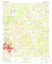
1972 · Philadelphia
USGS Topo · 1:24,000

1972 · Madden
USGS Topo · 1:24,000
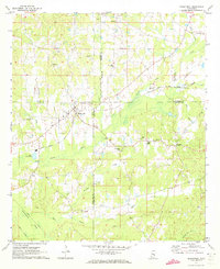
1972 · Sebastopol
USGS Topo · 1:24,000