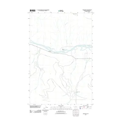
2011 Map of McDonald
USGS Topo · Published 2011About this map
The Flathead River cuts a wide path through this portion of Sanders County, defining the geography around the settlement of McDonald. To the north, the terrain rises toward Sonyok Mountain, while the low-lying McDonald Basin sits just south of the riverbanks. This landscape is characterized by its complex drainage systems, with numerous watercourses including McDonald Creek, Magpie Creek, and Gunderson Creek flowing toward the main river channel.
Find a feature on this map
21 named features on this map. Tap any name to fly to it.
Don’t see what you’re looking for? This feature index may not catch every label — zoom into the map to look around manually.
Map Details
Editions of this 2011 McDonald Map
This is the sole edition of this map. No revisions or reprints were ever made.
Other maps of this area

1956 · Wallace
USGS Topo · 1:250,000

1959 · Tarkio
USGS Topo · 1:62,500

1959 · Alberton
USGS Topo · 1:62,500

1959 · Perma
USGS Topo · 1:62,500

1960 · Wallace
USGS Topo · 1:250,000

1964 · Dixon
USGS Topo · 1:24,000

1964 · Mc Donald
USGS Topo · 1:24,000

1964 · Melton Ranch
USGS Topo · 1:24,000

1965 · Sloan
USGS Topo · 1:24,000

1984 · Stark North
USGS Topo · 1:24,000