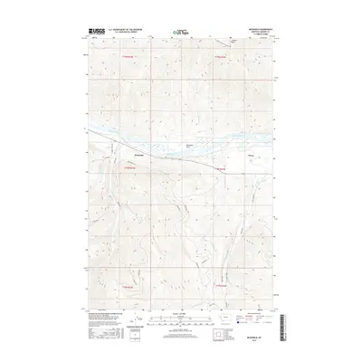
2017 Map of McDonald
USGS Topo · Published 2017About this map
The Flathead River flows through the heart of this landscape, separating the high mountain ridges to the north from the alluvial flats and structured foothills to the south. Near the small settlements of McDonald and Dixon, the river terrain opens into the McDonald Basin, a wetland area defined by complex hydrology. The southern half of the map reveals a systematic network of upland access roads, including Dixon 5000 and Dixon 6000, which navigate the steep drainage basins of Gunderson Cr and Revais Cr. Agricultural and water management infrastructure is evident through the presence of the Revais Canal on the eastern edge of the quadrangle. This 2017 survey illustrates the intersection of natural river systems and the managed forestry and irrigation routes that define modern Sanders County.
Find a feature on this map
28 named features on this map. Tap any name to fly to it.
Don’t see what you’re looking for? This feature index may not catch every label — zoom into the map to look around manually.
Map Details
Editions of this 2017 McDonald Map
This is the sole edition of this map. No revisions or reprints were ever made.
Other maps of this area

1956 · Wallace
USGS Topo · 1:250,000

1959 · Tarkio
USGS Topo · 1:62,500

1959 · Alberton
USGS Topo · 1:62,500

1959 · Perma
USGS Topo · 1:62,500

1960 · Wallace
USGS Topo · 1:250,000

1964 · Dixon
USGS Topo · 1:24,000

1964 · Mc Donald
USGS Topo · 1:24,000

1964 · Melton Ranch
USGS Topo · 1:24,000

1965 · Sloan
USGS Topo · 1:24,000

1984 · Stark North
USGS Topo · 1:24,000