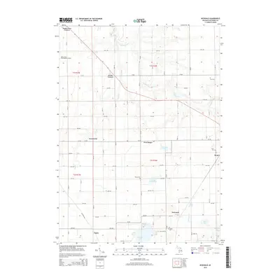
2014 Map of McDonald
USGS Topo · Published 2014About this map
Van Auken Lake and the surrounding marshlands of Van Buren County define the southern landscape of this 2014 survey. This portion of southwest Michigan is characterized by a series of small, historic communities such as McDonald and Toquin, interspersed with family-named burial grounds like Van Auken Cem and Thomas Cem. The agricultural and residential grid is marked by numerous crossroads settlements, including Jericho Corners and Maple Grove Corners, which have served as local focal points for generations. Natural drainage across the townships is provided by the S Br Black River and Cedar Cr, which wind through the terrain toward the northwest. The presence of smaller water bodies like School Section Lake and Merriman Lake highlight the glacial geography of the region, while the South Haven Area Regional Airport represents the modern transportation infrastructure bordering these traditional farming areas.
Find a feature on this map
61 named features on this map. Tap any name to fly to it.
Don’t see what you’re looking for? This feature index may not catch every label — zoom into the map to look around manually.
Map Details
Editions of this 2014 McDonald Map
This is the sole edition of this map. No revisions or reprints were ever made.
Other maps of this area

1927 · Hartford
USGS Topo · 1:62,500

1927 · Bangor
USGS Topo · 1:62,500

1927 · Benton Harbor
USGS Topo · 1:62,500

1927 · South Haven
USGS Topo · 1:62,500

1930 · South Haven
USGS Topo · 1:62,500

1930 · Benton Harbor
USGS Topo · 1:62,500

1931 · Bangor
USGS Topo · 1:62,500

1931 · Hartford
USGS Topo · 1:62,500

1943 · South Haven
USGS Topo · 1:62,500

1943 · Bangor
USGS Topo · 1:62,500