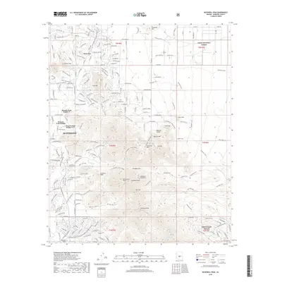
2018 Map of McDowell Peak
USGS Topo · Published 2018About this map
The McDowell Mountains dominate the center of this 2018 study, rising sharply between the growing desert communities of Scottsdale and Fountain Hills. The terrain is characterized by prominent landmarks like Thompson Peak, McDowell Peak, and the distinctive Troon Mtn, while the high desert floor is etched by seasonal watercourses such as Ochoa Wash and Taliesin Wash. Subdivisions like Pinnacle Peak Heights and Reata Pass show the northward expansion of the valley's suburban footprint toward the Tonto National Forest boundary. An extensive network of recreational routes, including the Gooseneck Trail and Pemberton Loop, underscores the area's modern identity as a hub for outdoor transition. This detailed survey captures the balance between residential development and the preserved natural features of the Sonoran landscape.
Find a feature on this map
74 named features on this map. Tap any name to fly to it.
Don’t see what you’re looking for? This feature index may not catch every label — zoom into the map to look around manually.
Map Details
Editions of this 2018 McDowell Peak Map
This is the sole edition of this map. No revisions or reprints were ever made.
Other maps of this area

1904 · Camelback
USGS Topo · 1:62,500

1904 · Ft. McDowell
USGS Topo · 1:62,500

1906 · Camelsback
USGS Topo · 1:62,500

1906 · Ft. McDowell
USGS Topo · 1:62,500

1930 · Cave Creek
USGS Topo · 1:125,000

1939 · Cave Creek
USGS Topo · 1:125,000

1954 · Mesa
USGS Topo · 1:250,000

1957 · Mesa
USGS Topo · 1:250,000

1958 · Mesa
USGS Topo · 1:250,000

1960 · Mesa
USGS Topo · 1:250,000