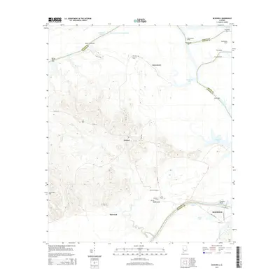
2014 Map of McDowell
USGS Topo · Published 2014About this map
Demopolis and the surrounding riverlands of Marengo County and Sumter County are defined by the winding course of the Tombigbee River. This modern survey illustrates the critical water management infrastructure along the Tennessee-Tombigbee Waterway, where the river expands into Demopolis Lake and Coffeeville Lake. The landscape is a mix of lowland basins and rising elevations like Armstrong Hill, with the rural settlements of Belmont and McDowell serving as central points for local road networks.
Find a feature on this map
47 named features on this map. Tap any name to fly to it.
Don’t see what you’re looking for? This feature index may not catch every label — zoom into the map to look around manually.
Map Details
Editions of this 2014 McDowell Map
This is the sole edition of this map. No revisions or reprints were ever made.
Other maps of this area

1929 · Epes
USGS Topo · 1:48,000

1932 · Epes
USGS Topo · 1:62,500

1946 · Demopolis
USGS Topo · 1:24,000

1947 · Demopolis
USGS Topo · 1:24,000

1947 · Mason Bend
USGS Topo · 1:24,000

1947 · Forkland
USGS Topo · 1:24,000

1948 · Mason Bend
USGS Topo · 1:24,000

1948 · Mc Dowell
USGS Topo · 1:24,000

1949 · Mc Dowell
USGS Topo · 1:24,000

1949 · Forkland
USGS Topo · 1:24,000