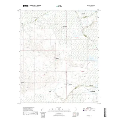
2018 Map of McDowell
USGS Topo · Published 2018About this map
The Tennessee-Tombigbee Waterway defines the character of this region, snaking past numerous river features such as Mussel Shoals Bar, Rattlesnake Bend, and Greens Bar. This landscape is marked by the meeting of Sumter, Greene, and Marengo counties, where small rural settlements like Belmont, Brownstown, and McDowell serve as historical anchors. The topography transitions from the wetland environments of Charleston Swamp to prominent elevations like Armstrong Hill and Kid Hill. For genealogists and local historians, the area is well-documented through its community burial grounds, including Pinetop Cem, Taylor Cem, and Palestine Cem. The inclusion of the M & M DR railroad corridor and local thoroughfares like Gandy Ferry Rd illustrates a transportation network that supported the river-and-rail economy centered around the industrial presence in Demopolis and the surrounding river bluffs.
Find a feature on this map
53 named features on this map. Tap any name to fly to it.
Don’t see what you’re looking for? This feature index may not catch every label — zoom into the map to look around manually.
Map Details
Editions of this 2018 McDowell Map
This is the sole edition of this map. No revisions or reprints were ever made.
Other maps of this area

1929 · Epes
USGS Topo · 1:48,000

1932 · Epes
USGS Topo · 1:62,500

1946 · Demopolis
USGS Topo · 1:24,000

1947 · Demopolis
USGS Topo · 1:24,000

1947 · Mason Bend
USGS Topo · 1:24,000

1947 · Forkland
USGS Topo · 1:24,000

1948 · Mason Bend
USGS Topo · 1:24,000

1948 · Mc Dowell
USGS Topo · 1:24,000

1949 · Mc Dowell
USGS Topo · 1:24,000

1949 · Forkland
USGS Topo · 1:24,000