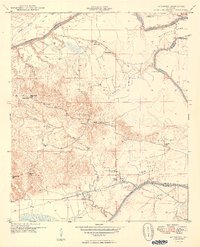
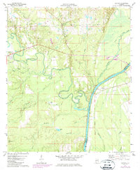
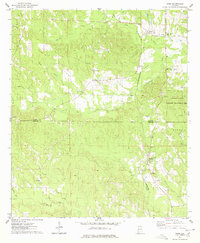
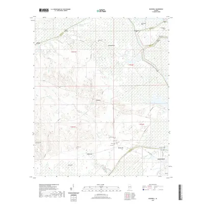
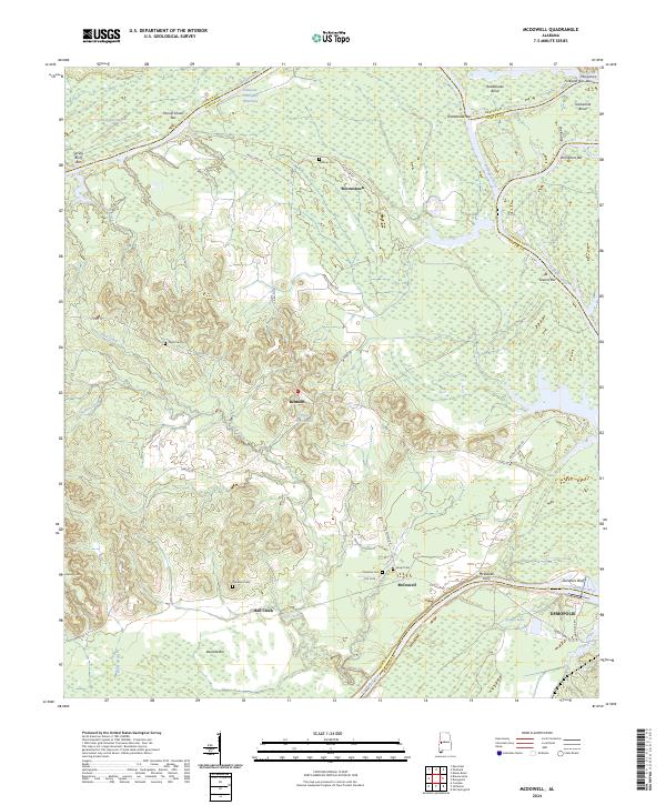
1949 Map of McDowell
USGS Topo · Published 1949About this map
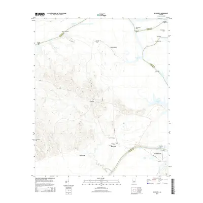
The Tombigbee River forms a sweeping boundary through this portion of West Alabama, defined by sharp meanders like Twelvemile Bend and The Ravine. This 1940s landscape is deeply rural, organized around small community centers such as Belmont and Brownstown. The social fabric of the era is visible through its dense network of local institutions, particularly the numerous country schools and churches that served the agricultural population. Significant landmarks include Bucks Chapel, Palestine Ch, and several family-named burial grounds like the Taylor Cem and Houpt Cem. Transportation in the region relies on a mix of old river crossings and rail, notably the McDowell Ferry and the Southern railroad line. The terrain rises to the west toward Armstrong Hill, while the lowlands are marked by Charleston Swamp and Hayes Creek, illustrating the transition from the river bottom to the higher ridges of Sumter County.
Find a feature on this map
39 named features on this map. Tap any name to fly to it.
Don’t see what you’re looking for? This feature index may not catch every label — zoom into the map to look around manually.
Map Details
Editions of this 1949 McDowell Map
2 editions found
Historical Maps of Demopolis Through Time
43 maps found
1948 Mc Dowell
Sumter County, AL
1949 McDowell
Sumter County, AL
1970 Warsaw
Sumter County, AL
1971 Coatopa
Sumter County, AL
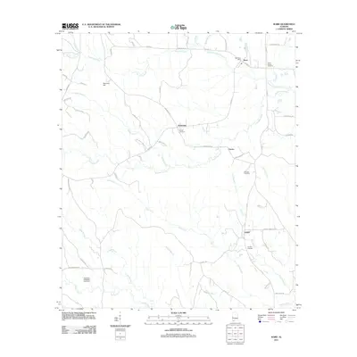
1974 Boyd
Sumter County, AL
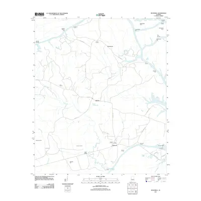
1974 Brewersville
Sumter County, AL
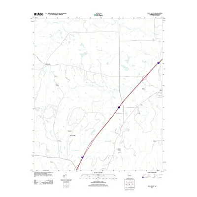
1974 Epes West
Sumter County, AL
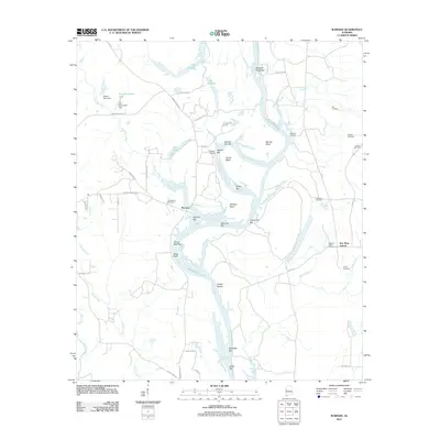
1974 Ward
Sumter County, AL
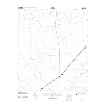
2011 Boyd
Sumter County, AL
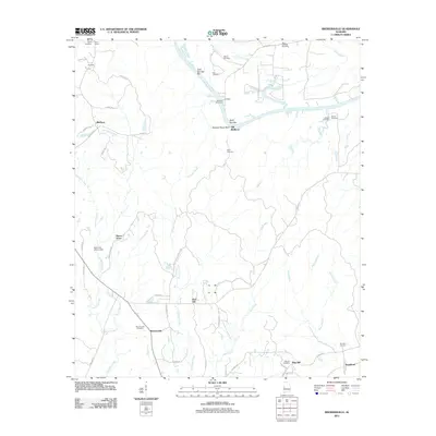
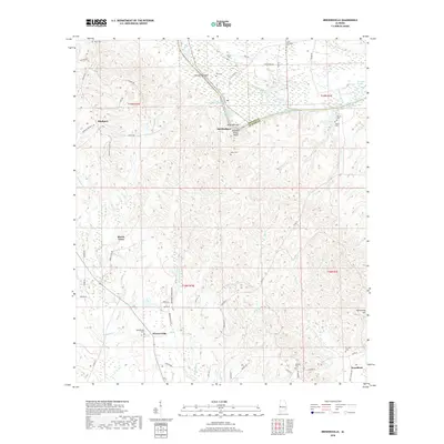
2011 Brewersville
Sumter County, AL
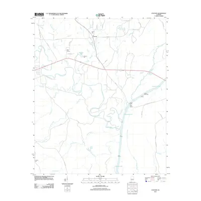
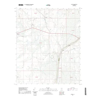
2011 Coatopa
Sumter County, AL
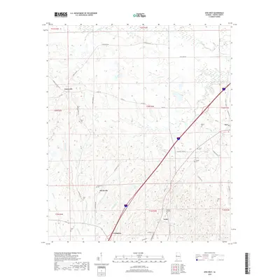
2011 Epes West
Sumter County, AL
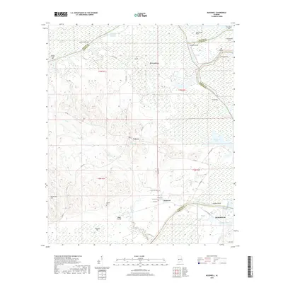
2011 McDowell
Sumter County, AL
2011 Ward
Sumter County, AL
2011 Warsaw
Sumter County, AL
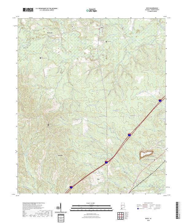
2014 Boyd
Sumter County, AL
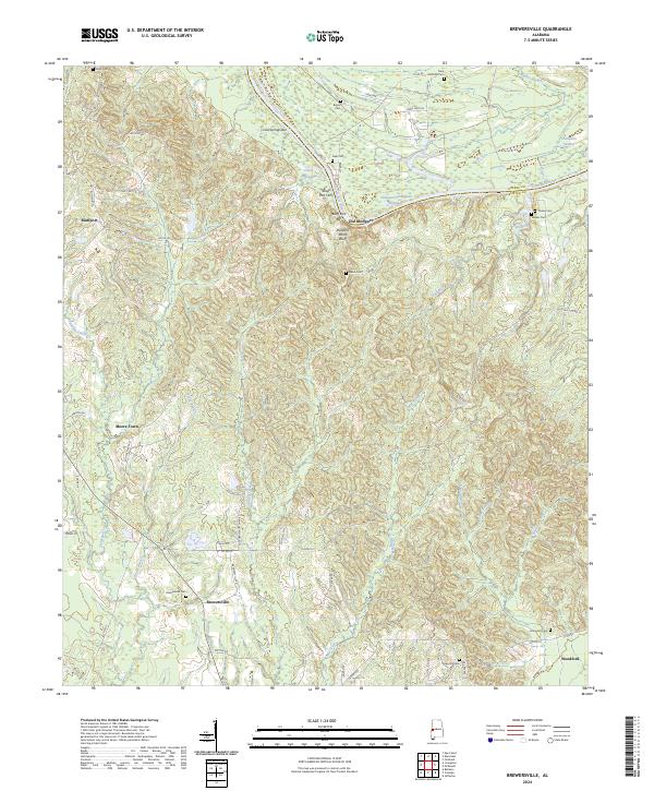
2014 Brewersville
Sumter County, AL
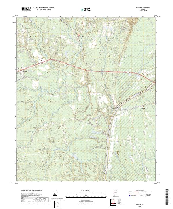
2014 Coatopa
Sumter County, AL
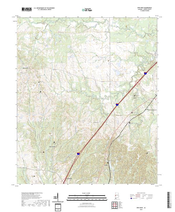
2014 Epes West
Sumter County, AL
2014 McDowell
Sumter County, AL
2014 Ward
Sumter County, AL
2014 Warsaw
Sumter County, AL
2018 Boyd
Sumter County, AL
2018 Brewersville
Sumter County, AL
2018 Coatopa
Sumter County, AL
2018 Epes West
Sumter County, AL
2018 McDowell
Sumter County, AL
2018 Ward
Sumter County, AL
2018 Warsaw
Sumter County, AL
2020 Boyd
Sumter County, AL

2020 Brewersville
Sumter County, AL
2020 Coatopa
Sumter County, AL
2020 Epes West
Sumter County, AL
2020 McDowell
Sumter County, AL
2020 Ward
Sumter County, AL
2020 Warsaw
Sumter County, AL
2024 Boyd
Sumter County, AL
2024 Brewersville
Sumter County, AL
2024 Coatopa
Sumter County, AL
2024 Epes West
Sumter County, AL
2024 McDowell
Sumter County, AL

2024 Ward
Sumter County, AL
2024 Warsaw
Sumter County, AL