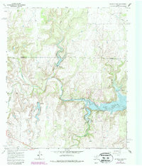
1967 Map of McEwen Draw
USGS Topo · Published 1987About this map
Jim Ned Creek meanders through this portion of the Texas heartland, where the 1966 aerial photography captures a landscape transitioning between agricultural ranching and petroleum development. The map prominently features Lake Coleman, showing the controlled inundation areas and spillways along the creek's course. Evidence of the local energy economy is widespread, with numerous Oil Wells and Gas Wells dotting the Oil Field across both Callahan and Coleman counties.
Find a feature on this map
22 named features on this map. Tap any name to fly to it.
Don’t see what you’re looking for? This feature index may not catch every label — zoom into the map to look around manually.
Map Details
Editions of this 1967 McEwen Draw Map
2 editions found
Other maps of this area

1887 · Coleman
USGS Topo · 1:125,000

1889 · Coleman
USGS Topo · 1:125,000

1890 · Abilene
USGS Topo · 1:125,000

1892 · Abilene
USGS Topo · 1:125,000

1892 · Ballinger
USGS Topo · 1:125,000

1931 · Baird
USGS Topo · 1:125,000

1932 · Baird
USGS Topo · 1:125,000

1954 · Brownwood
USGS Topo · 1:250,000

1954 · Abilene
USGS Topo · 1:250,000

1958 · Abilene
USGS Topo · 1:250,000